I’m going to describe the best off-road adventure of the Rocky Roads trip, but you’ll have to bear with me. Since the route winds along mostly unmarked mountain roads, it’s hard to figure out exactly where I was. If you’re familiar with these back roads, feel free to email me with any corrections.
My goal was to find the ghost town of Animas Forks, which is about 12 miles outside of Silverton on CO Rte. 110, a wide, well maintained dirt road. Instead, I think I took Rte. 110 the wrong way, and headed towards Gladstone, Colorado. The key to heading to Animas Forks, I’ve learned (after staring at one map after another of this area) is to turn right on 18th Street, then left on Blair Street, and drive past the San Juan Hillside Cemetery, just above Silverton. If you don’t pass the cemetery, you’re headed the wrong way on Rte. 110.
But this time, I was definitely headed the wrong way. That’s OK, it all worked out for the best.
As you head up Rte. 110, you’ll pass a small ski area that also offers scenic summertime rides on the lifts. After a few miles speed by (it’s easy to average 50mph on this road, even though it’s dirt), you’ll come to the ghost town of Gladstone.
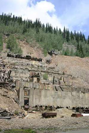
The foundation of the old building climbs the canyon wall. You’ll also find a few old ore-hauling rail cars scattered around the area.
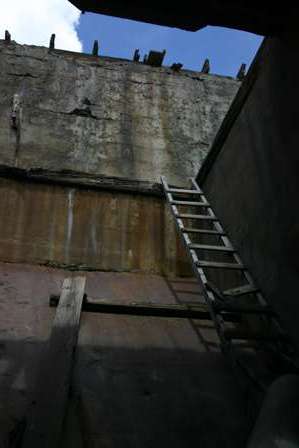
Climbing inside the old ruins would be dangerous and difficult. I merely peeked inside.
Around this area you’ll also find a few plaques explaining the history of the mine.
Near the mining ruins, you’ll find a small 4wd only road that turns off to the left. The sign promises three mountain passes: Corkscrew, Hurricane, and California. That sounded more tempting than the road to Animas Forks, so I took the turn-off.
Hurricane Pass
After the turnoff from Gladstone, the one-lane dirt and gravel road starts a dramatic climb, which peaks first at Hurricane Pass, elevation 12,407 feet. (For some perspective, Silverton’s elevation is around 9,300 feet, meaning you’ve gained nearly 6/10 of a vertical mile at this point!)
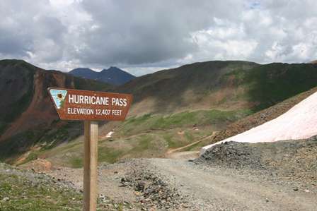
Prepare for an incredible view as you crest the hill at Hurricane Pass. Unless you were born and raised in the mountains, you’ve probably never seen anything quite like this.
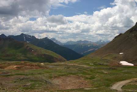
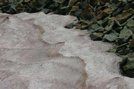
Even in August, I found snow in several places. Of course, it was rapidly melting and considerably dirty–not exactly good snowman material.
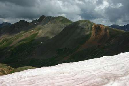
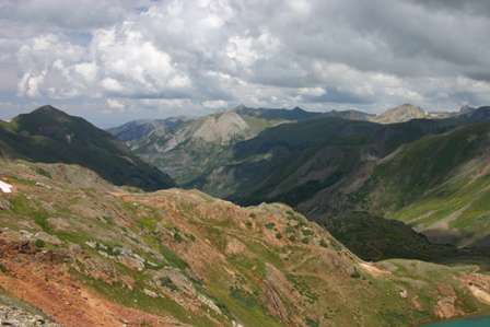
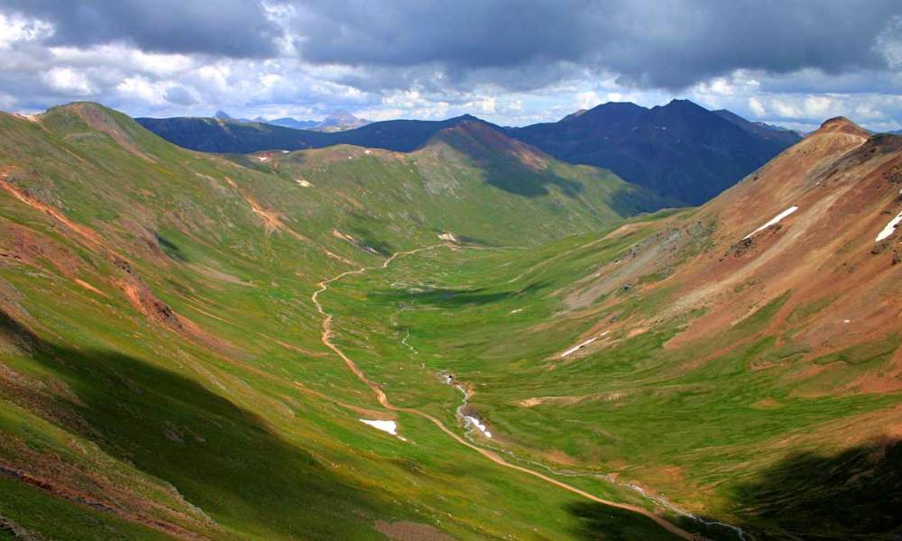
This is the view up Poughkeepsie Gulch. More on that area in just a moment.
Continue following the main dirt road downhill. (Several side roads branch out, but it’s fairly obvious which road you should follow).
Corkscrew Pass Road
Funny story. About halfway down the narrow road, I ran into some trouble.
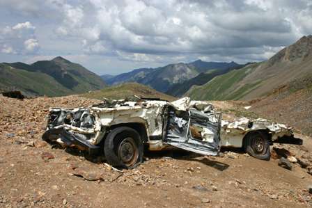
Do you think the rental car company will notice?
OK, seriously, I’m happy to admit that this was not my car. I imagine the Forest Service left the wrecked remains here to remind visitors just how dangerous these narrow, steep roads can be, especially if you don’t know what you’re doing. One wrong turn or careless moment could easily leave you tumbling hundreds of feet down a mountainside.
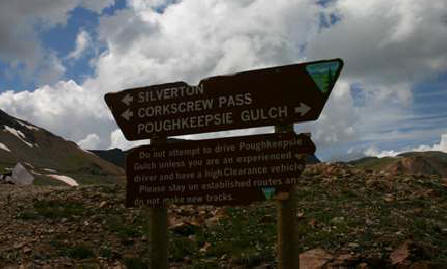
Just below the wreckage, you’ll find this sign, with another stern warning:
Do not attempt to drive Poughkeepsie Gulch unless you are an experienced driver and have a high clearance vehicle. Please stay on established routes and do not make new tracks.
We’ll tackle Poughkeepsie Gulch in just a moment (at least part of it). First, another side road.
Note: This trip was first published in 2005.




No comments