As you head west on highway 190, you’ll climb your way out of Death Valley. Just eight miles after leaving Stovepipe Wells Village, you’ll reach an intersection. On the official park map, it’s called Emigrant, but there’s not much there except a few picnic tables. Take a left onto Emigrant Canyon Road (that’s what it’s called on the map, but some road signs call it Wildrose Canyon Road).
After just a couple of miles, you’ll reach the ruins of the Aguereberry Mining Camp, and the old Eureka Mine.
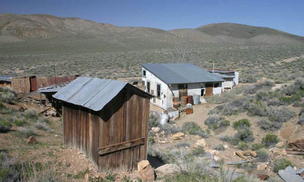
Several buildings still stand from the mine’s boom days around 1906. One of the gold mine’s founders, Pete Aguereberry, lived in these old shacks. He partnered with a prospector, Shorty Harris, and the two planned to found a town named Harrisberry. Later, as the tale goes, Shorty tried to take credit for the claim, and renamed the town Harrisburg. But when the mine’s output decreased, Shorty left. Pete remained, and worked the mine for some 40 years.
During the mine’s heyday, some 300 people lived in “Harrisberry”, most in a tent city that sprang up across the road from Pete Aguereberry’s house. All those tents are long gone, but Pete’s home and a few other shacks still stand.
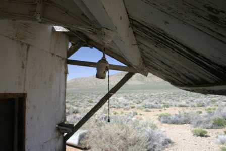
You’ll find signs that Pete Aguereberry had all the modern conveniences, including electricity and indoor plumbing. Wander around and you’ll find a couple of old refrigerators, light sockets, and even his toilet and shower.
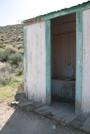
Well, I guess he didn’t always have indoor plumbing!
Aguereberry (Eureka) Mining Site
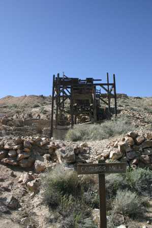
Circle around the hill from the Aguereberry Mining Camp, and you’ll find the old Cashier Mill, and the mineshafts leading down into the Eureka Mine.
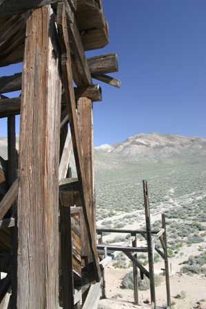
From the top of the hill, you can look out on a surprisingly flat expanse of land that stretches out for miles.
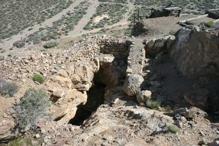
One of the two mine shafts I found here had been closed, but this one was still open. Looking down into this crumbling, dark hole, I couldn’t see the bottom, so I didn’t get too close.
Note: This trip was first published in 2005. I spent much more time in Death Valley during the Superbloom of 2016.



No comments