Waterton Lakes National Park offers a couple of scenic drives that take you from Waterton townsite into the mountains. If Akamina Parkway is open (part of it is closed during winter), you should definitely drive out it. The lake at the end, Cameron Lake, is worth at least a brief visit. And, there are other hiking opportunities along the way.
My Visit
The easy way to access the very southwesternmost corner of Alberta, is via the scenic Akamina Parkway. This paved two-lane road takes you from the town of Waterton, northwest, then southwest, to the edge of the province and the country.
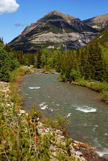
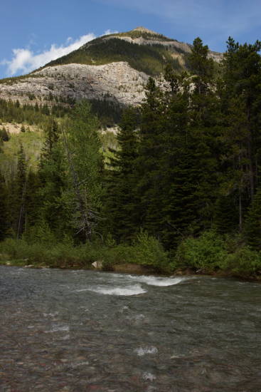
Along the way, there are numerous places to pull off the road and enjoy the views of Cameron Creek…
… and all the pretty mountain peaks above it.
At the end of the road…
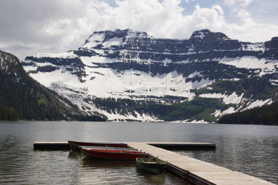
… you’ll find Cameron Lake. This small lake straddles the US/Canadian border (those mountains at the far end of the lake are in America), and the lake is in the shadow of the Alberta/BC provincial line, which is just up the hill to the right.
At the lake, you can rent a canoe or paddle-boat, and go for a float.
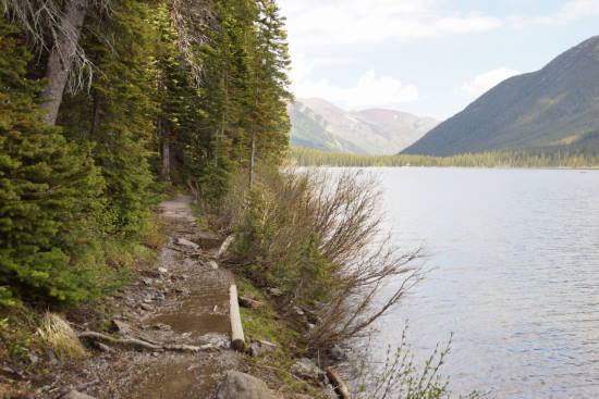
You can also hike the Cameron Lakeshore trail, which skirts the western edge of the lake. My visit was about a week after a snow-and-rainstorm pounded the area, and that meant a lot of mud and a lot of flooding. The trail itself was above the water line, but there was so much run-off coming down the hill that the trail was very soupy.
One other thing that makes the Cameron Lakeshore trail less-than-spectacular…
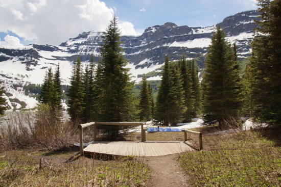
… is where it ends. The trail comes to an abrupt halt, just before you reach a great viewpoint of the lake. Signs warn that the area ahead, cleared by landslides, is a popular hangout for bears — so much so, that it’s dangerous to go any further. And as you can see, in late June, if I had gone any further, I’d be navigating through some slushy snow.
The good news is, the trail is only about one mile (1.6 km), one way, which makes it a fairly quick hour-long round trip.
Another hiking option along the Akamina Parkway is Crandell Lake:
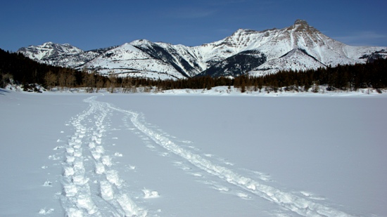
This is what it looks like in March. During my visit to the park in 2012, I trudged through the snow to reach the frozen lake. I’m sure it’s much different in the summer months.
During the winter, Akamina Parkway looks like this:
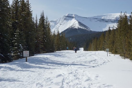
… or at least, part of it does. Only part of the road is plowed — allowing you to drive far enough to access the Crandell Lake trailhead. But, the final 2.5 kilometers to Cameron Lake is unplowed, and used by cross-country skiers. You can read all about Akamina Parkway and Crandell Lake in winter, here.
The Bottom Line
You should certainly take a drive out Akamina Parkway during your visit to Waterton Lakes National Park. While I wasn’t overwhelmed with Cameron Lake, it’s a good destination and worth at least a brief visit. The hike to Crandell Lake may prove to be more enjoyable than the Cameron Lakeside trail.
Location
Waterton Lakes National Park is located in southern Alberta, along the US/Canadian border, and the border with British Columbia to the west. The park centers around Waterton townsite, at the western end of Alberta Route 5.
Akamina Parkway exits Route 5, just west of the Prince of Wales Hotel and the park’s visitor center. It’s 15.5 kilometers to the end of the parkway, at Cameron Lake.

Drivelapse Video
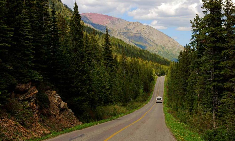
Check out this time-lapse, dash-cam video of the drive down Akamina Parkway in Waterton Lakes National Park:

No comments