I hadn’t really done my research on the best way to experience the Great Salt Lake. As I arrived back in northern Utah from Idaho and Wyoming, I looked at the map, and noticed a big island out in the middle of things. It looked interesting. And there you have it: I had picked my next destination.
Location
Antelope Island is north of Salt Lake City. From Interstate 15, take exit 332 (Utah Rte. 108, also known as Antelope Drive). After passing through the congested community of Syracuse, Rte. 108 turns into a causeway, and seven miles later, you arrive at Antelope Island.
My Visit
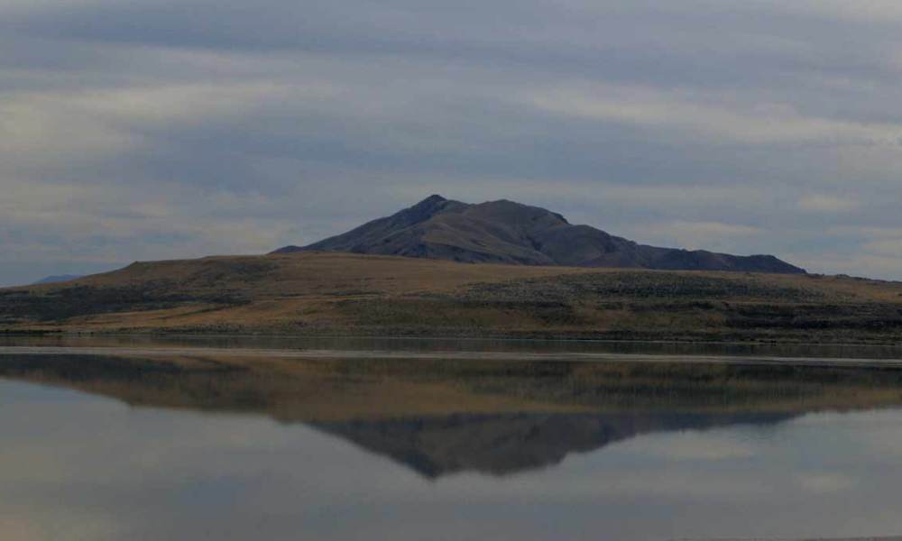
I was disappointed at the weather. Day 6 had been hazy all day, even as far away as Jackson, Wyoming. But here in Utah, the sky was cloudy and overcast. The reflection of Antelope Island would have been extraordinary, with a little more light and a blue sky.
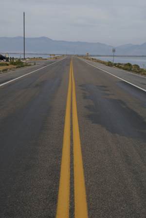
At the west end of the causeway, this is the view back towards the mainland. There’s a small marina here. I’d suggest your first stop should be at the visitor’s center…
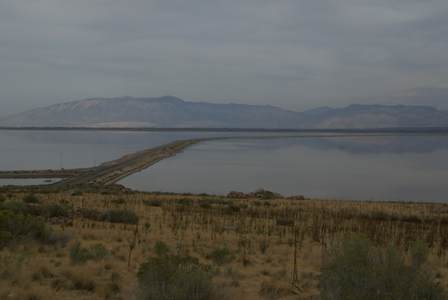
… which is on the hill above the end of the causeway.
When you reach the end of the causeway, the road splits. Veering to the right will take you to the visitor’s center, Bridger Bay, Buffalo Point, and White Rock Bay. Head to the left, and you’re headed for Garr Ranch, about 3/4 the way down the island.
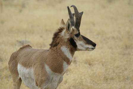
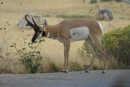
It didn’t take long to spot Antelope on Antelope Island. Several creatures (pronghorn antelope, to be specific) were hanging out on the hill near the visitor’s center, right next to the road.
Buffalo Point Trail
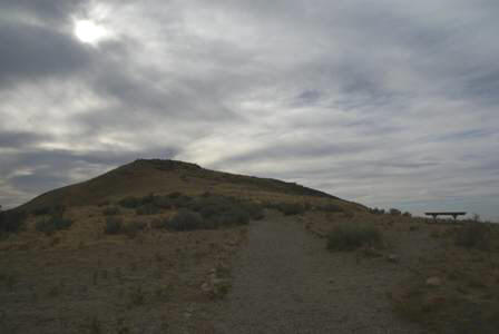
The highest point on the north end of Antelope Island is Buffalo Point, and if you’re willing to hike a short, steep trail, you can enjoy a great view from here. As you near the top, the trail is almost dangerously steep, and very rough. Take a walking stick, and use caution.
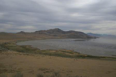
On the way up, you have a great view of White Rock Bay to the south. (There’s a campground at White Rock Bay, as well as beach access.)
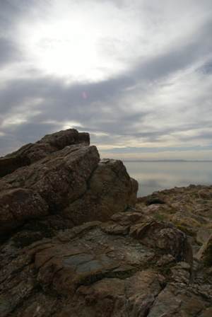
The climb to the top requires about a 250 vertical-foot climb. When you reach the top, it’s surprisingly rocky. Kids would love the chance to climb around. Heck, so did I.
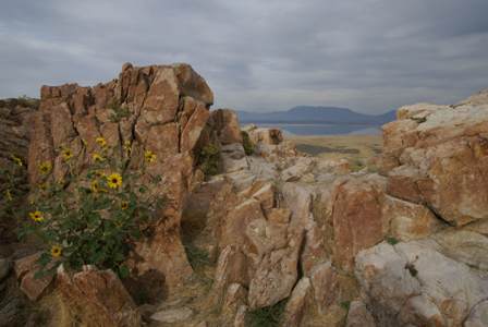
For a brief moment, a little bit of sunshine broke through the clouds. It would be beautiful up here on a sunny day.
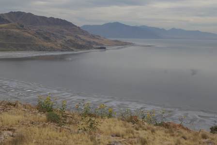
Here’s another view of White Rock Bay. You can explore for a while at the top of Buffalo Point, and find good spots to view the lake and surrounding land in almost every direction.
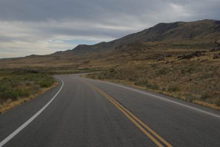
After spending entirely too much time atop Buffalo Point, I once again hit the road, this time traveling down the east side of Antelope Island, towards Fielding Garr Ranch. I had heard the staff at the visitor’s center talking about how beautiful it was at the ranch. I had also heard that the ranch closed at a surprisingly early hour, perhaps 4 or 5 p.m. No problem, I thought. Even if I couldn’t go inside, I could still see it from the outside.
Well, there was a problem. Not only did the ranch close early, so did the final mile or two of road to the ranch. After traveling about 10 miles, I couldn’t get any closer.
I’m not complaining, really. I just should have been smarter about my plan. The hike up to Buffalo Point could have waited–that trail never closes. If I had driven down to Fielding Garr Ranch first, I would have had no problem. It would have been nice, though, if a sign warned that the road was closed ahead, not just the ranch itself.
But I really am not trying to complain. The drive down the side of Antelope Island was beautiful, and it allowed for several close encounters with something I hadn’t expected to find in the middle of the Great Salt Lake: huge herds of bison.
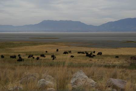
Apparently, Antelope Island is famous for its population of buffalo, but like I said earlier, I hadn’t done my homework before arriving on the island. The buffalo are easy to find, and often wander directly across the road, so it’s quite likely you’ll see plenty of them, up close.
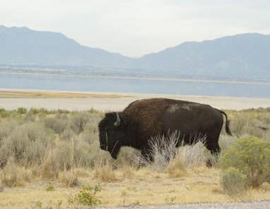
Antelope Island’s population of bison started with just a dozen of the creatures, back in 1893. Those dozen buffalo multiplied over the next century, and now, the population is between 500-700. Every October, the bison are rounded up. They receive a health checkup, and any extra bison are sold.
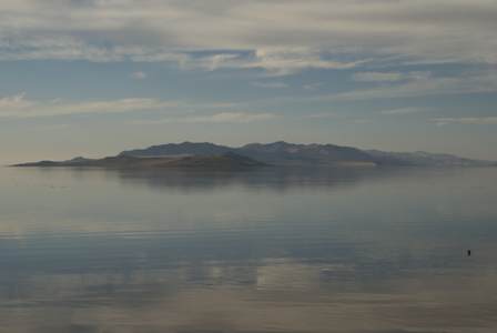
Just as it was about time for me to leave, wouldn’t you know it, the skies started to clear–a little. The break in the clouds was enough to shed a little light on Fremont Island and Promontory Point to the north.
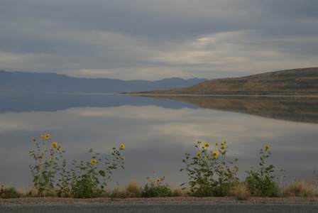
It was time to leave. Back on the causeway, I took one last look at the island, and the Wasatch Mountains on the other side of the lake. That reflection really is extraordinary.
I spent the night in Salt Lake City, preparing for another long day of driving.
Note: This trip was first published in 2007.



No comments