Slow down as you approach the deepest place in the western hemisphere: Badwater.
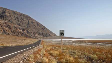
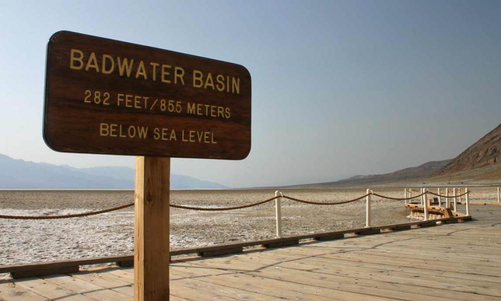
Here, the salt flats of Death Valley reach their lowest point, 282 feet below sea level.
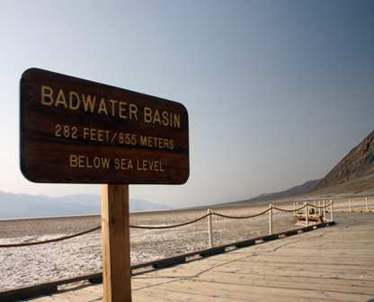
Park and head down the steps to the boardwalk. Here, you can see the salt flats without getting your feet wet or salty.
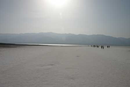
You’ve traveled a long distance to stand at the second lowest point on earth, so why not go all the way? Walk out onto the salt flats, headed for the water. Keep in mind, though, the desert plays tricks on your eyes, and the water is farther away than you might think.
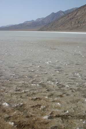
The salt here isn’t the same as you’ll find up the road, at the Devil’s Golf Course. There, it’s hard and jagged, here, the salt flats are smooth. Any formations that stick up are still soft enough to walk on, barefoot.
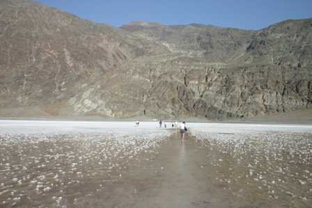
Before you know it, you’re a long way from the parking lot. You could keep going further, too, since the water remains shallow.
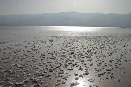
The picture above looks out over Badwater basin to the Panamint Mountains. See the specks in the water on the right side? Those are people who decided to go much farther out into the water, probably another quarter mile. Even that far out, the water was still only knee-high.
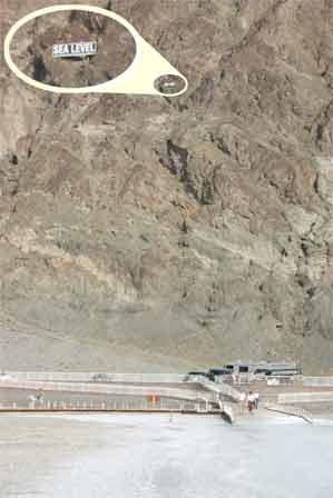
Had your fill of salty water, searing heat, and glaring sun? Turn around to discover exactly how far you’ve gone. At some point on your return trip, you’ll notice a sign on the rocky hillside above the road, that shows you exactly how much trouble you’d be in, if the Pacific suddenly rushed into the valley.
Note: This trip was first published in 2005. I spent much more time in Death Valley during the Superbloom of 2016.



No comments