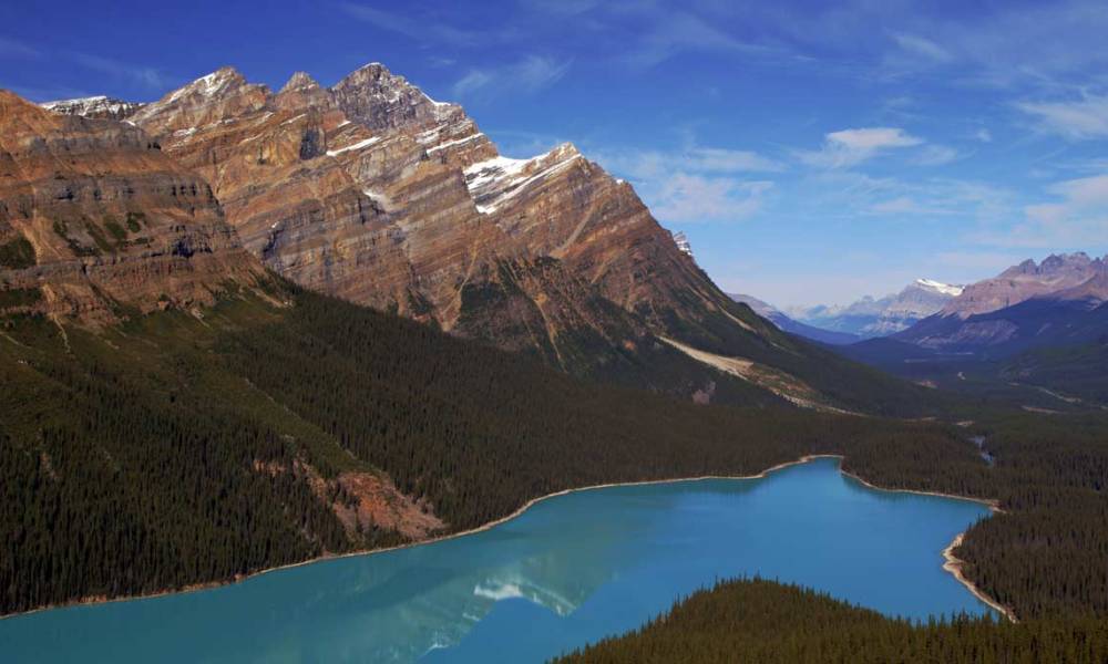
Peyto Lake might very well be the most photographed lake along the Icefields Parkway, and for good reason. From the popular viewpoint at Bow Summit Pass, you can walk a short trail to see this iconic view, with a dreamy milky-blue lake, towering mountains, and a view of the Mistaya River Canyon to the north. The water looks other-worldly, and if conditions are right, you’ll see a reflection of those mountain peaks in the lake’s surface.
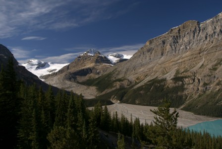
Here’s a view of Peyto Lake that’s less often seen. This is the upper end of the lake, and beyond it, Caldren and Peyto Mountains. You also get a peek at the Wapta Icefield here. It provides the water for Peyto Lake, as well as its milky color. Since the glacier is so close by, there’s no chance for the rock flour to settle out of the water before it reaches Peyto Lake.
Unfortunately, from Bow Summit Pass, the views of Peyto Lake are limited to a couple of well-established viewpoints. You can, however, hike to the lake, from a trailhead that’s about 2.5 kilometers north of Bow Summit Pass. Look for a parking area on the west side of the highway (it’s unmarked), then hike 1.4 kilometers (less than a mile) to the lakeshore.
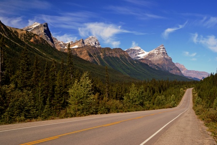
Bow Pass marks the highest point on the Icefields Parkway, at 2,067 meters (6,781 feet). As soon as you leave the parking area, you head downhill for a while. It’s a great opportunity to see the road stretch out ahead of you, along with the mountains that line the west side of the highway (like Patterson and Aries, 3,197 meters and 2,996 meters respectively).


No comments