Don’t make the mistake of thinking that every inch of California coastline is crammed with hotels, condos, and weight-lifting bodybuilders. The Golden State has hundreds of miles of coastline, and much of it in northern California is remarkably untouched. That’s partly because this “lost coast” is so rugged, that access is difficult. But, if you’re willing to invest some time, and don’t mind driving around hundreds of curves, you’ll be rewarded with a few spots that you can’t believe still exist.
Location
The drive out to the lost coast primarily involves Mattole Road. From the north, you can begin your journey at the Victorian town of Ferndale. From the south, you have a couple of options. There’s a fairly direct route that leads from US 101 to Petrolia (take the South Fork/Honeydew exit off US 101, at mile 663). On this trip, however, I started on the backroads directly out of Garberville. This extended route (using Wilder Ridge Road through Redway and Ettersburg) involved even more curves on narrow 2-lane backroads, but almost nothing in the way of scenery. I’d recommend plugging Petrolia into your GPS and taking the shortest route – or search the map for the few miles of Mattole Road that run along the coast, and make that your destination.
My Visit
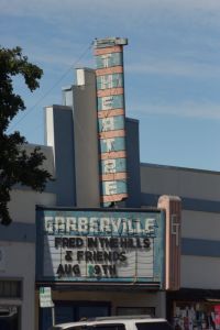
As I mentioned above, I began the journey into the Lost Coast in Garberville…
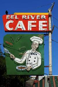
… where several nice neon signs help make downtown interesting.
Leaving downtown, I headed north on Redwood Drive, avoiding US 101. At Redway, I turned on Briceland Thorn Road, which eventually became Wilder Ridge Road, which eventually ran into Mattole Road. I drove for miles and miles before I found anything of interest that was worth photographing.
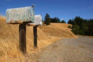
And when I finally did, it was at a spot where I had stopped before. At this break in the trees, there are a couple of mailboxes and a driveway, which curves nicely up the rounded hills.
It looked better, though…
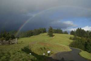
… back in 2007 when I drove Mattole Road. Back then, I was dodging rain showers and was rewarded with a nicely-placed rainbow.
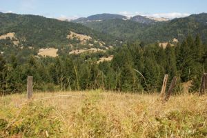
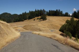
A bit further, and there’s another break in the trees, revealing the surrounding mountains.
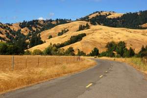
From there, everything gets better. Nice views are more common, as the landscape opens up to reveal those beautiful California hills.
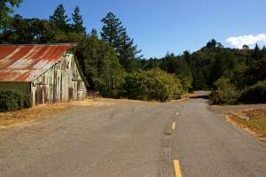
You’ll also pass by this barn, at the side of the road. A sign tells that it was built in 1880… way back when this stretch of coast was remote and sparsely populated.
A few miles ahead, Mattole Road will meet up with the coastline. But if you’d like another option for enjoying a beach…
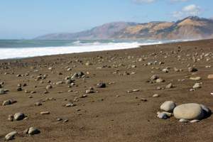
… take the detour out to Mattole Beach. It’s a few miles away from the main road, down a paved but narrow side road that dead-ends at the ocean. You’ll find this detour just before you cross the bridge and enter the community of Petrolia.
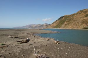
A short walk takes you out on the sandy beach that separates the Pacific Ocean from the Mattole River. The two meet at the north end of the beach.
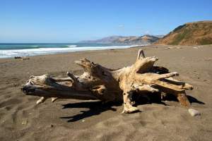
There’s plenty to see here, from ghostly tree stumps…
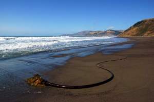
… to whatever this is …
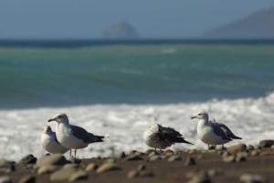
… to seagulls. Lots of noisy seagulls. You can choose the Pacific side of the beach…
… or the river side, which is a more peaceful estuary, backed by beautiful hills.
When you finish at the beach, backtrack to Mattole Road and continue the drive north, crossing the bridge…
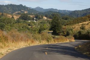
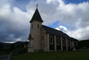
… and entering Petrolia. From the north side of town, you’ll be able to see every inch of quaint little Petrolia. The town has a church…
… which I photographed during my 2007 trip. The church is probably the town’s most notable structure. Aside from that, there are a few houses and maybe a restaurant or general store. That’s about it.
After passing through Petrolia, you’ll stay inland for a short while longer…
and enjoy some pretty scenery as you pass through rolling ranch land. Then finally, the road turns, and drops…
… and you’ve arrived at the very best part of the Lost Coast.
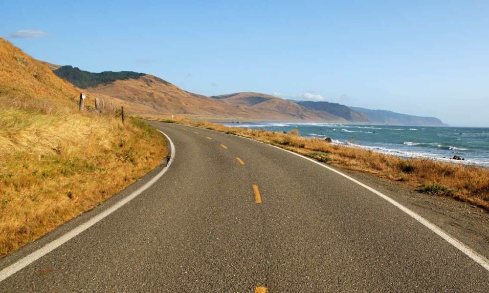
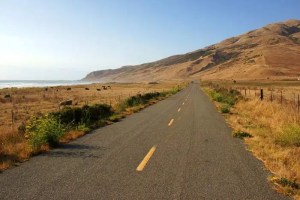
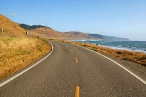
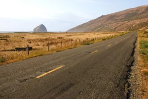
Mattole Road runs along here for just 6.5 miles… but those miles are extraordinary.
Most of the time, the only thing separating you from the coast is a field full of cattle. Yes, the cows have a better view from their home than you do.
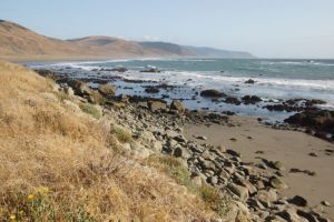
Some of this coastline is private property, but there are a few spots where you can wander out onto the shore. Much of it is rocky – so if you want a more traditional sandy-beach experience, consider the drive out to Mattole Beach.
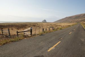
Notice that giant rock out there? That’s Cape Rock, on Sugarloaf Island. It’s just offshore from Cape Mendocino, the westernmost point in the continental United States.
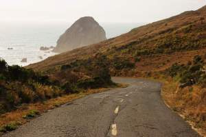
Sadly, Mattole Road turns away from the coast, just before Cape Mendocino. The climb up the hill is dramatic, and if you stop and look back, you’ll capture a great shot of Cape Rock…
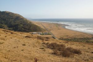
… and a look at what is, as far as I know, the only residence on this coastal stretch of highway. I’m assuming that home you see below is where the owners of all those cows live.
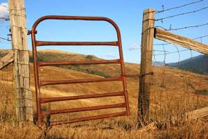
The nice scenery continues as you leave the coast. You might even catch a glimpse of the water, one or two more times. But to be honest, by this part of the drive, I was thoroughly exhausted, and I just wanted the curves to end. And they do end, eventually, at Ferndale.
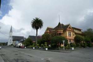
Back in 2007, I drove Mattole Road in the opposite direction, and spent some extra time in beautiful Ferndale, before tackling the road. I’ll show you more of this town on the 2007 tour of Mattole Road.
The Bottom Line
California’s Lost Coast is extraordinary, and a drive on Mattole Road is an excellent way to see it. Just make sure you’re prepared for a long day of slow driving on narrow roads. The beauty of this area is tempered only be the fatigue you’ll experience getting there.
Drivelapse Video
Here’s a time-lapse look at the drive from Garberville to Mattole Beach…
… the beach to Cape Mendocino…
… and Cape Mendocino to Ferndale, California:




No comments