Crater Lake is a place like no other. It’s the deepest lake in the United States, and one of the deepest in the world. Located in the caldera of an ancient volcano, this used to be Mount Mazama, until its eruption some 7,700 years ago. Now, it’s a captivating deep-blue lake surrounded by mountains along its rim.
Because Crater Lake is one of the snowiest places in America, there’s a good chance that you’ll be visiting in the wintertime, even if you arrive in June or September. Be prepared for flurries or a full-blown snowstorm, any time of the year.
My Visit
I was hoping to push my luck, and visit Crater Lake for some nice fall hiking, late in September. I figured I had a few more weeks before heavy snow would hit, and I shouldn’t have any problem hiking the trails or driving around the entire Rim Road, which encircles the lake.
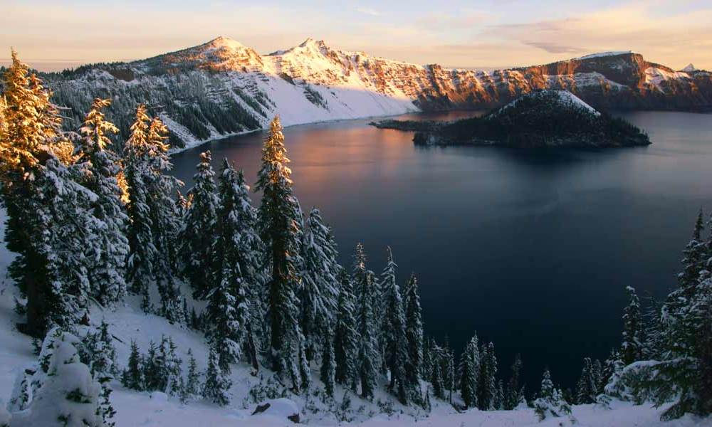
Instead, I arrived, and found this:
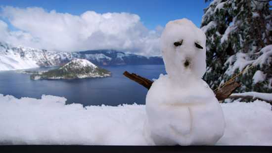
An early winter storm had hit Crater Lake the previous night, dumping about 8 inches of snow on the area. That was enough white stuff to make everything beautiful, for sure, but it also caused the park to close the entire loop road. I began to realize that I might be limited to just the Rim Village for my entire visit.
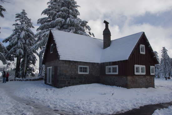
There is plenty to see and do at the Rim Village. While this smaller building was closed, there is a bigger visitor center/gift shop nearby.
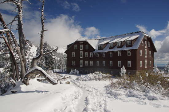
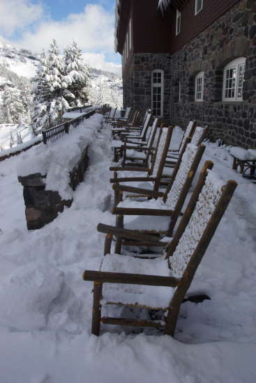
During the harshest months of winter, the Crater Lake Lodge is boarded up, and snow drifts bury the hotel’s first floor.
In September, the lodge was still open…
… although the rocking chairs weren’t getting nearly as much use…
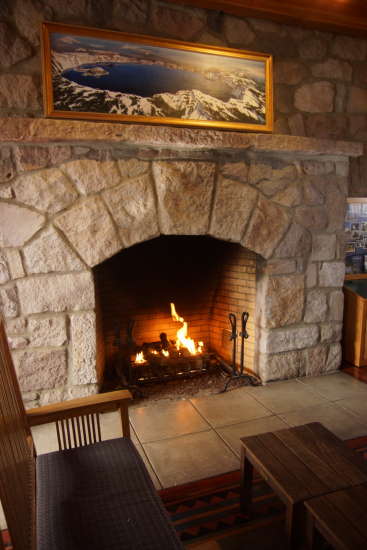
… as the fireplace inside.
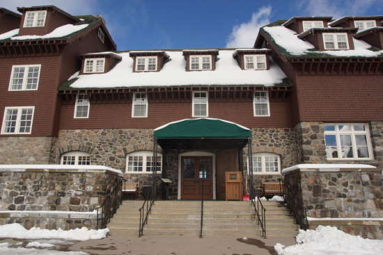
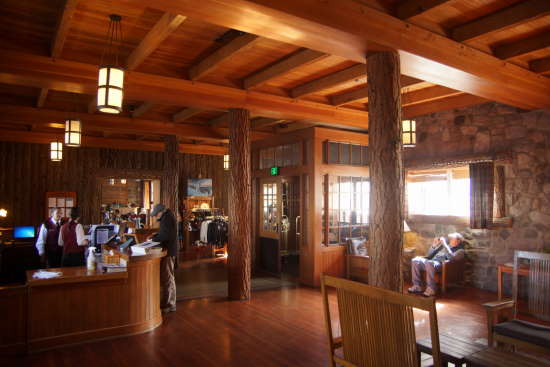
The lodge originally opened in 1915, and received a major renovation in 1995. The lobby offers a cozy escape from the cold weather outside. However, if you want to snuggle into a nice warm bed, it isn’t cheap. Rooms start at $165, as of 2013.
I didn’t have that kind of cash, so I stayed outside the park boundary at Wilson’s Cottages.
Because the Rim Road was closed, I couldn’t venture much farther than the Rim Village. Fortunately, there is one excellent trail to hike, near the lodge. I’ll show you the snowy hike up to Garfield Peak on a separate page.
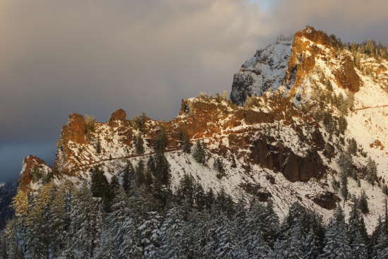
That’s the trail up Garfield Peak. I took this picture around sunset, when Garfield Peak and the other mountains on the eastern side of the lake have a nice glow.
After sunset, I headed down to my overnight accommodations. I needed to get to bed early, so I could get up early for the sunrise.
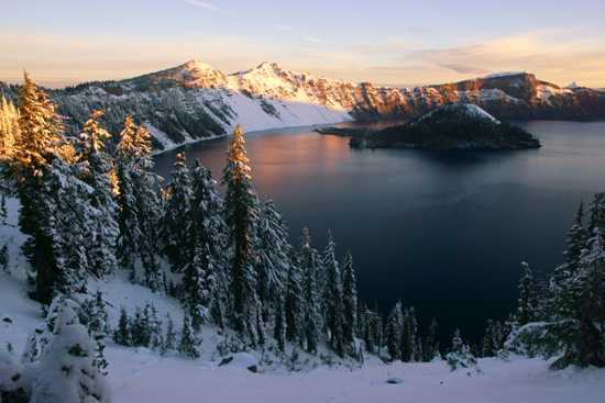
It takes a lot to get me out of bed in the morning, especially on vacation. But, I figured it was worth the effort to see the sun rise over Crater Lake.
Since the Rim Road was closed, I only had the option of viewing the sunrise from the south rim. I’m not sure if that was good or bad. I might have preferred to be on the west side of the lake, looking directly towards the sun, but then I wouldn’t have captured the morning glow on the east-facing slopes.
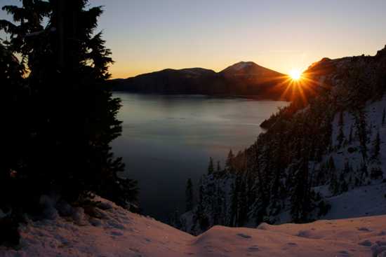
The sun made a great appearance to start the day. It’s too bad it would disappear by mid-afternoon.
Did I mention how cold it was, before sunrise at one of the snowiest places in the country? It was downright numbing to be out here, before the warmth of the day arrived — but I still highly recommend it.
Once the sun was up, I took a nap in my car. While I slept, the road crews finished clearing the west side of the Rim Road, and they opened the gates. The West Rim Road only covers about 20% of the rim, from roughly the 7 o’clock to 10 o’clock position on the loop. I drove the road, and discovered a couple of nice viewpoints, and one more place to hike: the Watchman trail to a historic fire tower. The rest of the loop seemed unlikely to open any time soon, so sadly, I never got to see the rest of it. Hey, it’s good to have a goal for the next time, right?
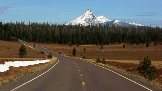
Just for fun, I drove on up the North Entrance Road for a few miles. The Pumice Desert is a worthwhile diversion from the lake. This wide swath of land is covered with the pumice and ash deposited by Mount Mazama’s eruption. The pumice is up to 200 feet deep in places. I think that mountain in the distance is Mount Thielsen.
On the way back to the lake, clouds and rain moved in. I was discouraged at first, until I noticed this:
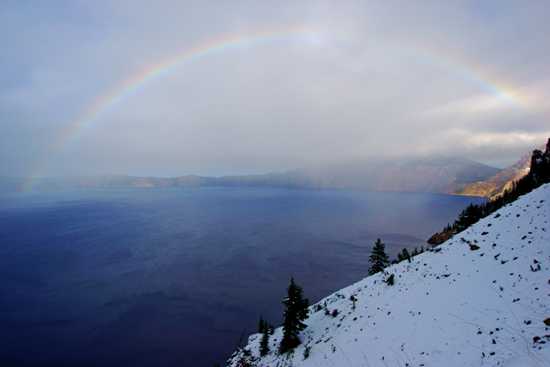
Enough sun was peeking through the clouds to create a rainbow over Crater Lake.
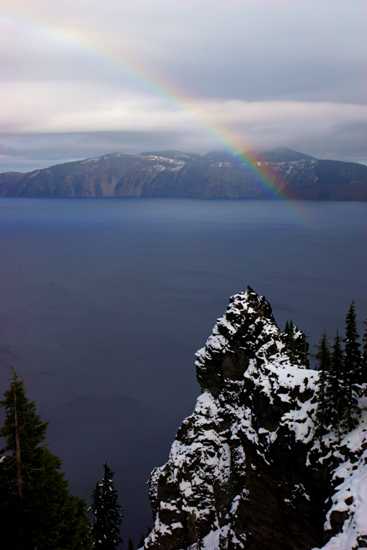
It was a pretty good rainbow…
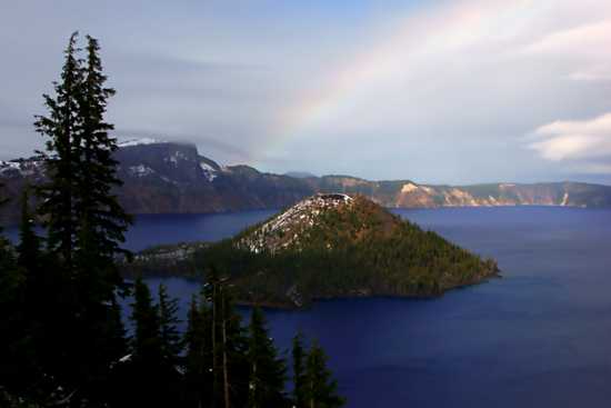
… and it lasted long enough for me to get all the way back down to Rim Village.
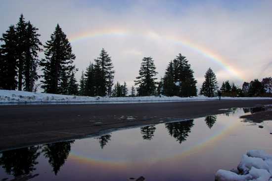
Double Rainbow? Sort-of.
I had planned to spend another full day at Crater Lake, but more foul weather was moving in, and I didn’t think it was likely that the entire Rim Road would open. So, I ended my visit to Crater Lake a day early.
The Bottom Line
Crater Lake can be difficult to visit. It is fairly remote, with very few affordable lodging options nearby, and the weather can also be a factor. Snow can hit at any time of the year, and quickly change your plans. If you go, be sure to allow some flexibility in your schedule to accommodate changing weather conditions and road closures. Crater Lake is one of the wonders of the world — a stunningly beautiful and unusual place, so it’s worth the extra effort, expense, and potential surprises.
Location
Crater Lake is located in south-central Oregon. The biggest nearby cities are to the south: Medford to the southwest along Interstate 5, and Klamath Falls to the southeast along US 97.
Whether you’re coming from Medford or Klamath Falls, you’ll be taking Oregon Route 62. This road is kept open year-round, although it may close briefly for snow removal after big storms.
You can also access the lake via the North Entrance Road, via Oregon 230 or 128. Keep in mind that the North Entrance Road will be closed during the winter, and possibly as late into summer as July. If you’re staying on the north side of the lake, and the road closes, you’ll have to make a very long loop around to the south rim.
Drivelapse Video
Check out this time-lapse, dash-cam video tour of the Crater Lake area:

No comments