As I entered Crawford Notch State Park from the south, I spotted the mountain I wanted to climb. Frankenstein Cliff is one of the sheer rock walls that towers over the Saco River Gorge, just south of the Crawford Notch Pass. The mountain was beautiful, and looked challenging, but it’s the name that excited me. Frankenstein. With an identity like that, it must be a worthy trail.
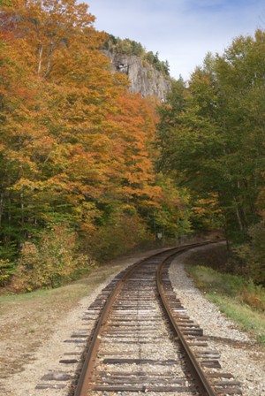
The trailhead for Frankenstein Cliff and Arethusa Falls is at the same parking lot, up a dirt road on the left side of US 302 (if you’re arriving from North Conway). The turnoff is just after you’ve entered the park, before you get to Willey Pond and the restaurant/store/park ranger station in the middle of the park. The Frankenstein Cliff Trail heads north, while the Arethusa Falls Trail heads west — but if you have about 4-6 hours, you can hike them both in one big circuit.
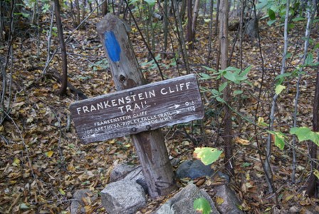
I chose to tackle Frankenstein Cliff first. The first 20 minutes of the hike were easy. Then I came upon this sign, that said it’s only 6/10 of a mile from the trailhead to the cliff. Be warned, this is the most challenging part of the hike.
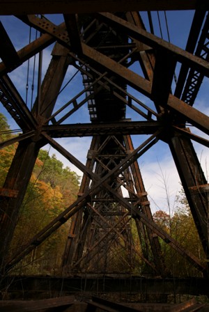
The Frankenstein Cliff Trail winds through the woods, then passes underneath the same railroad tracks that you saw at the trailhead. This is the Frankenstein Trestle, a landmark to watch out for, if you’re taking the Conway Scenic Railroad out of North Conway through the notch.
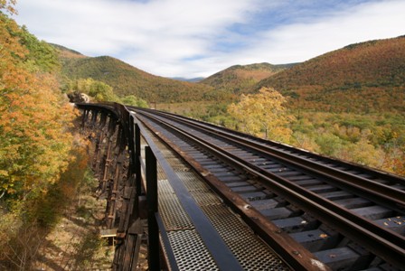
After you pass under the trestle, the trail climbs a hill, and you end up atop the trestle. It’s a great place to take pictures looking north, though you can’t actually see the notch from here.
I was slightly confused by the trail at this point. It’s not clearly marked, and I didn’t know whether to follow the railroad tracks for a while, or head back into the woods. Eventually, I found the trail (which, if I remember correctly, heads back into the forest, not far from where the trail meets the top of the trestle).
The trail climbs sharply as it makes its way up the rocky face of Frankenstein Cliff. On the way up, I got lost a second time, and ended up making an even steeper ascent. I mistook a washed out area for the path, and had to do some serious scrambling to make my way up. Eventually, my makeshift trail crossed the real one, just as a couple of people were walking by. Embarrassing.
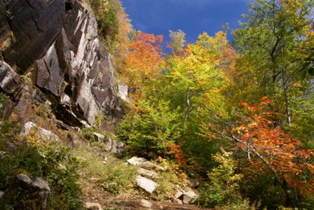
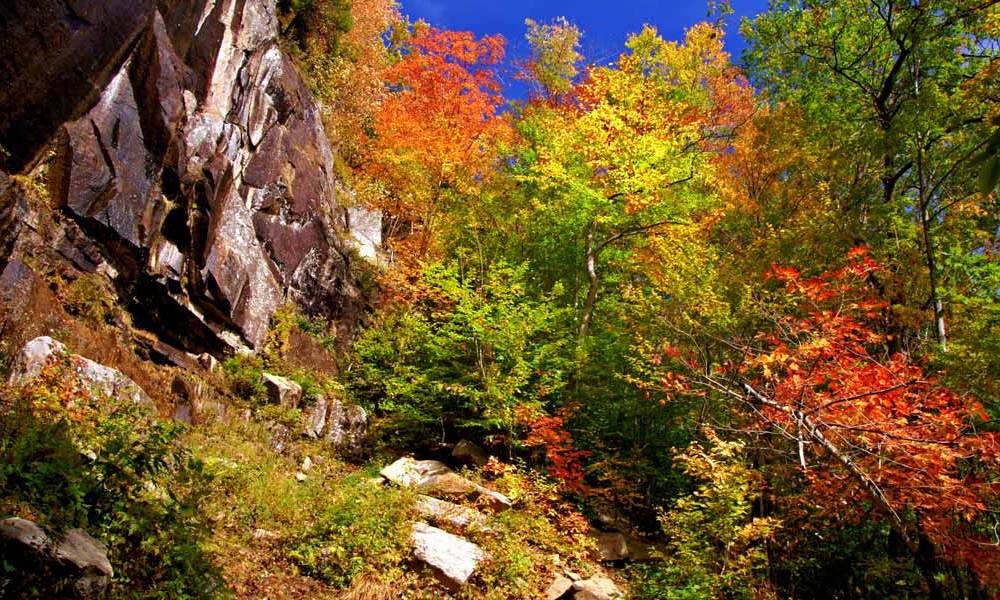
But I quickly put all that behind me, when I reached this magical spot. I truly believe this was the most beautiful place I found during the entire vacation. At this clearing, at the bottom of the cliff, the fall colors were as vivid as any I’ve ever seen before. I stood here for a few minutes, taking it all in. Some other hikers passed me. I gave them a couple of minutes of space, then I, too, headed back into the woods.
And that’s when I looked over to my right, just slightly down the hill, and saw a dog. A big dog. A big, black dog. Nope, I thought, that’s not a dog. That’s a bear. That’s a bear that’s coming towards me. I can’t believe the previous hikers didn’t scare it off. It’s going to cross my path in about 30 seconds. Good, that’s enough time to change my lens. I sure will get a good picture if this bear is 15 feet away from me, on the path right in front of me. Or I’ll be killed. Should I risk being mauled by a bear, just to get a picture? Darnit, I shouldn’t. I’ve gotta scare it off now, while it’s still far enough away that it won’t feel threatened.
So I said something out loud, like, “Hello, bear, I’m a human!” My heart raced, as the bear turned towards me. Clearly, he was a little embarrassed that he hadn’t noticed me. After a quick glance, he made a u-turn, and bounded down the hill.
I snapped a couple of blurry pictures as he ran, but you can’t see him. Thank goodness he was more afraid of me, than I was of him.
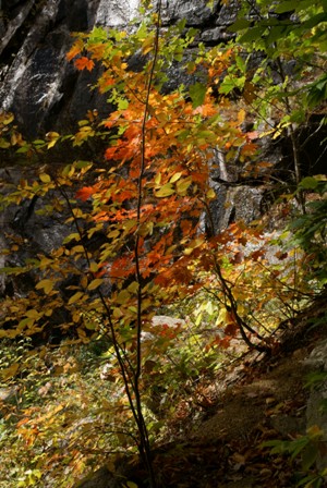
So, after the excitement of seeing some very big and potentially deadly wildlife, I went back to photographing the fall colors. These red leaves were at the edge of that clearing (from further up the page).
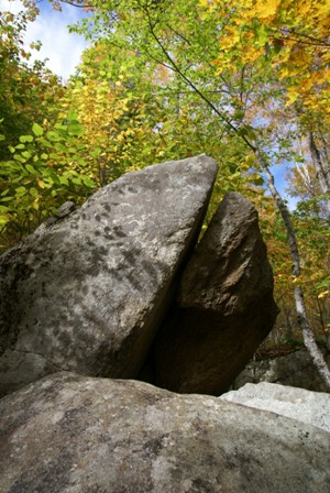
A little further, I found this unusual rock, with green and yellow leaves crowding around it.
After a little more climbing, suddenly, the trail emerged from the woods…
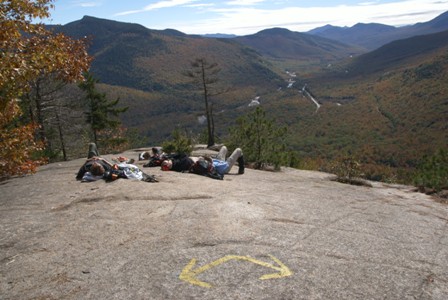
… at the top of Frankenstein Cliff. This rocky ledge provided a perfect place to relax in the sun…
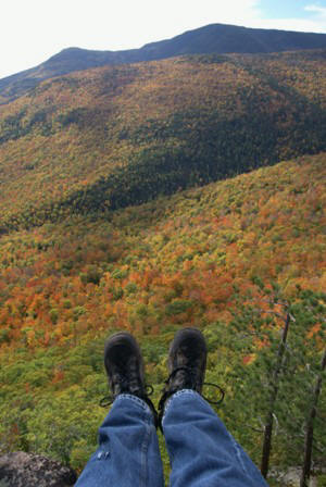
… and enjoy a view of the brilliant fall colors below.
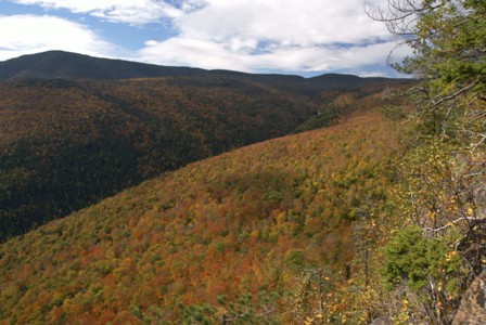
Looking to the west, there is a long canyon formed by Bemis Brook. At the top of the hollow is Arethusa Falls. It didn’t seem all that far, I surmised, and the most difficult part of the trail should be behind me.
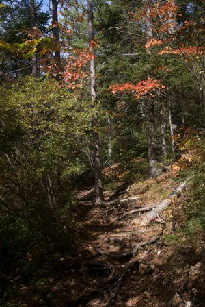
The trail still climbed for a while, but it wasn’t difficult, only long. About 10 minutes after I left the cliff, a side trail departed for Falcon Cliff (which I assume would have a good view to the north, looking further into Crawford Notch). It was 7/10 of a mile to Falcon Cliff, and the trial looked rough and poorly maintained. I decided it wasn’t worth adding a mile and a half (to the cliff and back) to my hike.
About 30 minutes after leaving Frankenstein Cliff, another sign suggested a side trail would lead to a view of Mt. Washington, and an outlook over Dry River Valley. I tried to follow this trail, but it seemed to vanish almost immediately, and I didn’t see any good viewpoints.
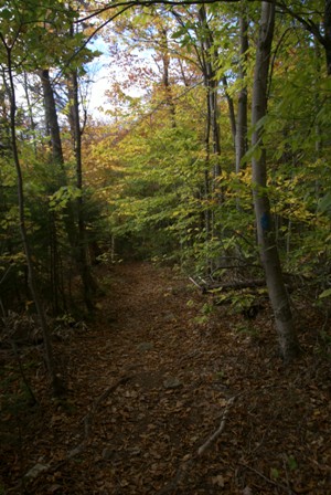
So, I trudged on, through the woods, headed to Arethusa Falls.
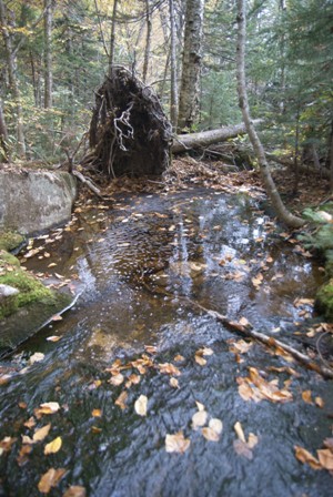
Along the way, this pond was interesting…
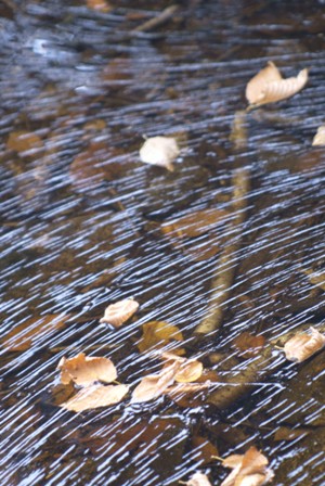
… because of the patterns in the surface of the water.
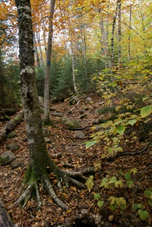
In some places, the sun was shining through the leaves, changing the color of the entire forest.
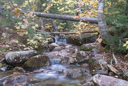
Another waterfall forced me to pull out the tripod and take a few shots.
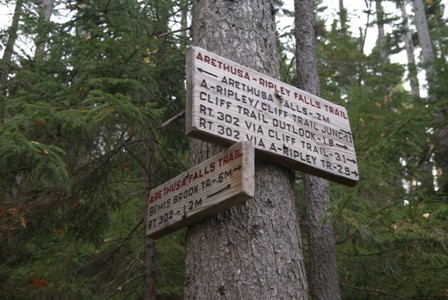
By the time I reached this sign, I had hiked 3.1 miles, but Arethusa Falls was just 2/10 of a mile away.
Arethusa Falls
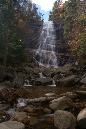
The reward for all your hiking is this: Arethusa Falls, a beautiful cascade of Bemis Brook over a granite cliffside. The falls are estimated to be anywhere from 125 feet to 200 feet or higher, depending on whose estimate you believe.†‡
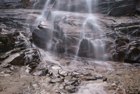
There’s plenty of room to climb around on the rocks near the base of the falls, just be careful — they’re slick.
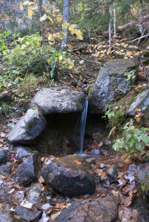
Keep an eye out for this tiny trickle of a waterfall, near the big one.
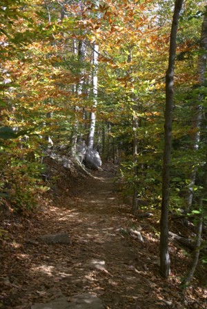
The trailhead is 1.4 miles from Arethusa Falls, bringing the total length of the hike to about 4.7 miles (7.5 kilometers). The final mile and a half is surprisingly steep downhill, and I was glad I hadn’t hiked up this way. It would be a long, straight, uphill trudge. I’m not saying you should avoid it, it just seemed somewhat monotonous on the way down, so I’m sure it would feel that way on the way up as well.
The one good thing about the hike back to the car was the fall leaves. I would be hiking along, and suddenly realize I was surrounded by unbelievable color.
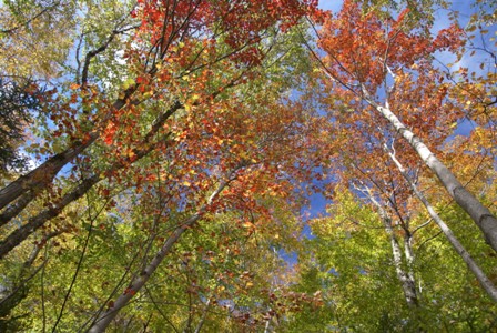
In so many places, looking straight up revealed a rainbow of colors: red, orange, yellow, and green on the trees, backed by a blue and white sky. Fantastic.

No comments