You can easily get your fill of waterfalls in northeastern Alabama. This area is home to plenty of waterfalls, including one that’s famously beautiful. DeSoto Falls has graced the cover of many Alabama travel brochures. And if you’re going to visit DeSoto Falls, you might as well take a hike through the nearby state park with the same name, to check out several cascades.
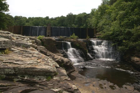
Surprisingly enough, DeSoto Falls is not in DeSoto State Park. It’s up the road a bit, just off Scenic Highway, a.k.a. DeSoto Parkway. Signs will point you in the right direction to both the park and the waterfall.
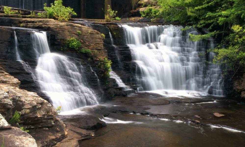
Since I was coming from the north, I arrived at the falls first. There’s a parking area next to DeSoto Falls Lake, a small lake formed by a 20-foot-high dam built in the 1920’s. You actually get several waterfalls here: first, water cascades over the dam, then over the rocks below the dam, and finally…
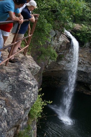
… over beautiful DeSoto Falls itself. This viewpoint is just a short walk from the parking area. The trail comes to a dead-end here, and the view isn’t quite what I had hoped for. In order to get this picture, I had to extend my tripod out over the railing.
There are better places to view DeSoto Falls, I just didn’t know exactly how to get to them. I saw a few people down below, along the edge of the pool at the bottom of the falls. This would have been the most perfect spot — but there were no signs to offer anyone any help. I heard one guy — who clearly thought he was an expert — talking about how they got there: he said they walked across the top of the dam, then climbed down the far side. I can’t imagine any sane person following his advice, since the dam would be slippery, with a 20-foot fall on one side, and a lake on the other side — not to mention water would be rushing over your feet. I decided to be satisfied with the view from the nice, safe viewpoint.
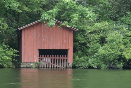
The small lake behind the dam provides a nice place for a picnic. There are a few old boat houses on the far side of the lake, but you can’t get to that side without driving all the way back up to Route 117, then taking a different road south.
DeSoto State Park
DeSoto State Park is just a few miles down the road from DeSoto Falls, via DeSoto Parkway and County Road 89. The trailhead for Indian, Laurel, and Lost Falls, as well as Azalea Cascade and the Boardwalk Trail, is just over the hill, beyond the country store.
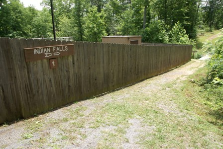
DeSoto State Park has nine trails in all (including some that are mountain bike-friendly), but you only have to park in one place to see the most interesting attractions. Leave the car at the Boardwalk Trail parking area. But before you set out down the Boardwalk Trail (which leads to Lost Falls and Laurel Falls), cross the street and look for this sign for Indian Falls. You have to walk around the park’s water treatment plant (follow the fence to the end, then take a left)…
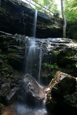
… then the trail crosses over a creek, and drops down the hillside. Keep in mind, this stream carries runoff from the water treatment plant, so you definitely don’t want to drink it, but it’s still beautiful.
The trail continues downhill towards Little River and the waterfall behind the lodge, but I chose to turn around and head back to the boardwalk.
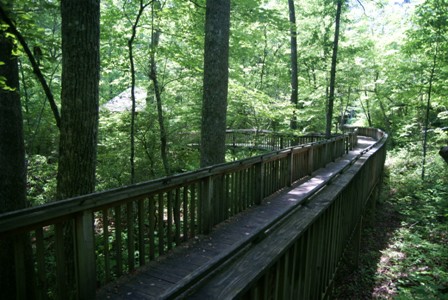
The Boardwalk Trail is just the beginning of a longer, 3.2 mile loop that accesses Laurel and Lost Falls. The boardwalk goes as far as…
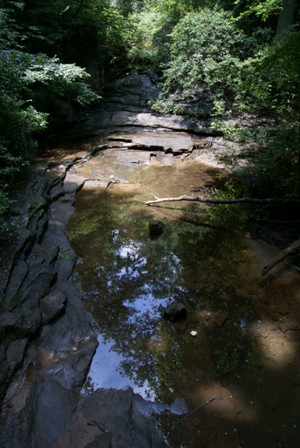
… Azalea Cascade, which wasn’t particularly beautiful during my visit. More water would make this much more attractive.
The rest of DeSoto Park’s trails are marked by colored blazes (paint on trees). You can either take the Red Trail to the Orange Trail, then to the Blue Trail, or reverse the order. I started with Red: the Azalea Cascade Trail, which splits off from the boardwalk shortly before the end.
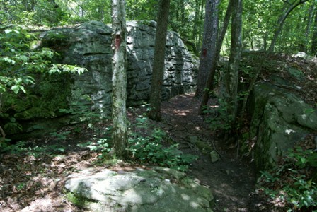
The red trail trudges through the woods, on a path that’s easy in most spots. Here, it squeezes in between some big rocks. Eventually, the Red trail connects with the Orange trail: Laurel Falls Trail.
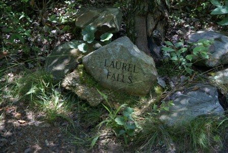
Laurel Falls is just slightly off to the side of the orange trail. Be sure to watch for this rock — it’s the only sign you’ll find.
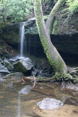
Laurel Falls was merely a graceful trickle during my visit. There must not have been much rain recently. It was still beautiful, though.
The next waterfall is Lost Falls, at the far end of the loop:
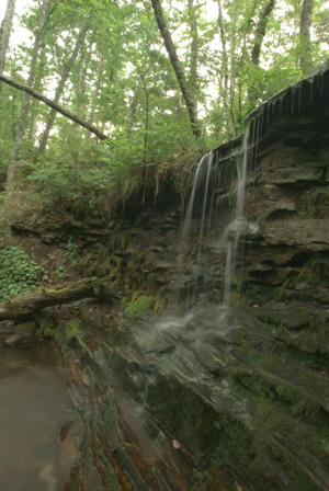
Once again, there wasn’t much water flowing (which makes sense, since both falls are part of the same creek). At Lost Falls, you can get down below the waterfall…
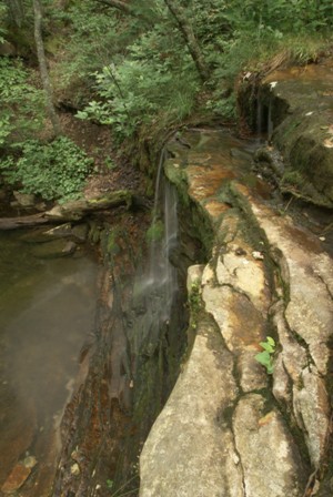
… then climb up the hill and see the waterfall from above. The trail circles around the top of Lost Falls, then heads back. The blazes change from Orange to Blue.
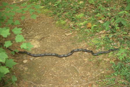
I made the hike back at a quick pace, except for one moment, when I crossed paths with this guy. I debated whether to try to jump over him, or walk around. I chose the latter — but once I had circled around, I looked back, and couldn’t find him. Hopefully, wherever he slithered, it was away from me.
After leaving DeSoto State Park, I continued heading south on DeSoto Parkway (a.k.a. Lookout Mountain Parkway) to Route 35 — and ended up stumbling upon something I didn’t know existed: Little River Canyon.

No comments