As I made the drive into Kings Canyon National Park on California Route 180 on Day 6, I had no idea of my surroundings. The road climbs from California’s central valley into the Sierra Nevada mountains, gaining about 6,000 feet, and for most of that time I was engulfed in a fog so thick, I could only see about two dashes on the center line in front of me.
Click here to view a larger version of this image.
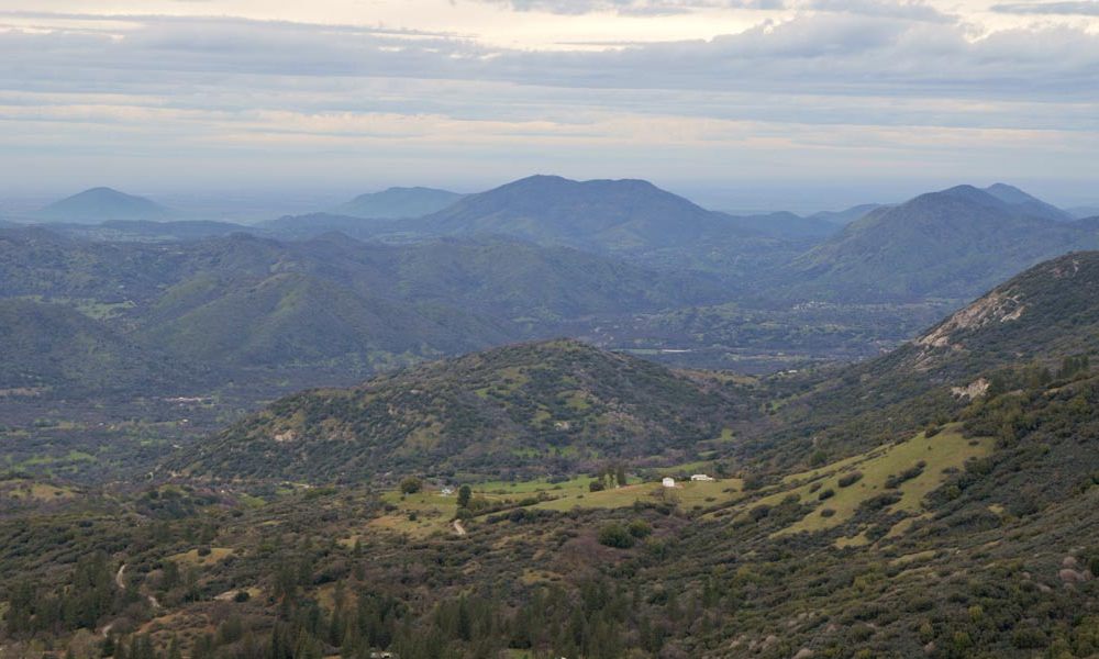
The trip down was much different. By midday on Day 7, the fog was gone, and I realized — for the second time — I was driving by an incredible landscape. As CA 180 makes its way through the Sierra Nevada foothills, one great view after another opens up at the side of the road.
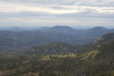
I pulled off several times to take in scenes like this one, looking northwest towards the central valley.
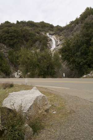
At one stop, I also spotted this waterfall at the edge of the road. I don’t know if it has a name — there were no signs.
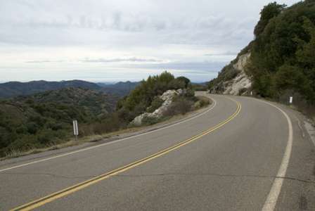
The road keeps descending, while perched on the edge of the hill. Eventually, the mountains begin to run out, as you reach the turnoff for Highway 63, which heads south towards Visalia.
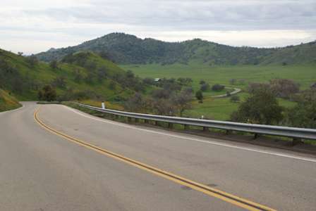
CA 63 starts off narrow and twisty, but it’s scenic enough to be a worthy setting for a car commercial. After winding over some hills and into a few canyons, you’ll see this view of a farm, complete with a picturesque barn. After this point, there aren’t many more hills or curves…
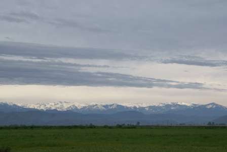
… and Route 63 becomes flat and boring, taking you due-south through farmland. The Sierra Nevada mountains still dominate the view out your driver’s side window.
From here to Visalia, there are a couple of small towns, that appear to be mostly inhabited by migrant workers. Outside the towns, you can expect to see some of them by the side of the road, working the fields.
Drivelapse Video
Here’s the time-lapse, dash-cam video of the escorted drive out of the Montecito Resort, then west on Hwy. 180 out of Kings Canyon National Park, and then south on Hwy. 63:


No comments