Headed south from Fairbanks, the Richardson Highway gets more beautiful, the further you drive. You’re truly out in the wilderness on this road — but there are a couple of noteworthy towns, and important places to stop. The Alaska Highway ends along this road, at Delta Junction. And, there’s an interesting historical site that’s worth visiting, at Big Delta — the confluence of the Delta and Tanana Rivers.
Location
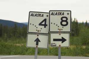
The Richardson Highway runs from Fairbanks to Valdez, Alaska. Leaving Fairbanks, it’s numbered as Alaska 2. At Delta Junction, Alaska 2 turns east, and Richardson Highway continues as Alaska 4. It was the first major road built in Alaska, carrying wagons in the 1910’s and automobiles as early as the 1920’s. The road was paved in 1957.
My Visit
Leaving Fairbanks doesn’t mean leaving civilization behind, at least not for the first few miles. The suburbs of Fairbanks extend into the next town, North Pole…
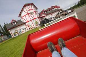
… where Santa has a thriving souvenir business. Santa Claus House is worth a stop, at least for first-time visitors, and the rest of the town also does a nice job with the Christmas theme.
Once I left Santa Claus House in North Pole, I drove for a while…
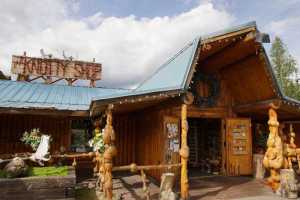
… then stopped at the Knotty Shop. No, not the Naughty Shop (I found that one on the other side of Fairbanks). The Knotty Shop is filled with Alaskan souvenirs, including all kinds of creations made from knotty wood. I wrote much more about Santa Claus House and the Knotty Shop on a separate page.
South of the Knotty Shop, the terrain isn’t thrilling. You’re driving through the Tanana River Valley (also home to Fairbanks), so the landscape is wide and flat, and there are plenty of trees to block any grand views.
There is some excitement along this stretch of road, though, thanks to the nearby Eielson Air Force Base. You’ll probably see some fighter jets streaking through the sky.
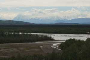
There are several spots along the road where you can see the Tanana River…
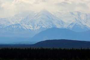
… and eventually, some bigger mountains come into view, towards the south.
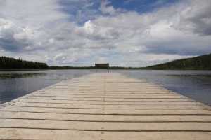
I stopped at Quartz Lake, because I had heard that there were some good hiking trails there. But, once I got there, I didn’t feel much like hiking, and some dark clouds looked threatening. So I continued…
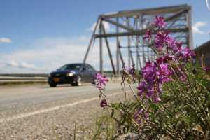
… to the Tanana River crossing. It’s here that the Tanana River meets up with the Delta River. From here south, the road will be following the Delta River.
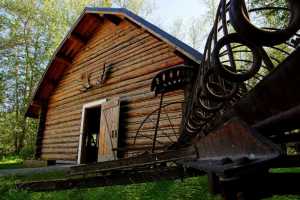
Cross the bridge and take a left, to visit the Big Delta State Historical Park. On the property, you’ll find a historic roadhouse and a WAMCATS (telegraph) station, along with all the other workings necessary to run a remote outpost in the early 20th century. I’ll give you a full tour of the Big Delta State Historical Park on a separate page.
From Big Delta, it’s just a short drive down the Richardson Highway to Delta Junction…
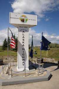
… where you’ll find an important landmark. This is the spot where the Alaska Highway ends. Turn here, and in just 1,400 miles or so, you’ll be in Dawson Creek, British Columbia (the start of the highway), and from there, it’s a mere 800 more miles to Seattle, Washington. I’ll give you a closer look at this famous mile-marker on a separate page.
I really, really, really should have filled up my gas tank in Delta Junction. It’s the last place on the Richardson Highway that’s big enough to have a gas station (with the exception of a handful of one-pump, maybe-open, maybe-closed all-purpose stores along the way) until you get to Glennallen, 154 miles away. Because I included a lengthy out-and-back detour onto the Denali Highway, I came frighteningly close to running out of gas.
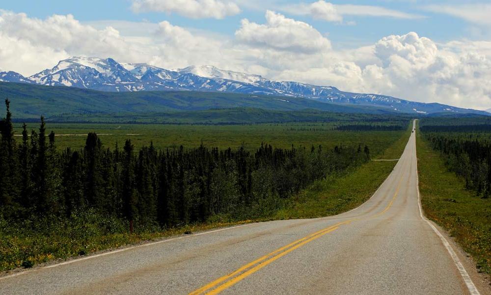
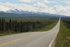
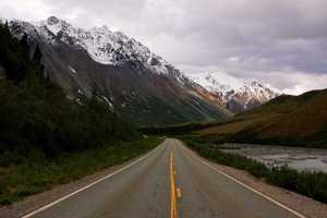
The best part of the Richardson Highway, in my opinion, is south of Delta Junction. Along this stretch, the trees are smaller, which allows the views to be grander. The road has some lengthy straight stretches, but there are enough curves and hills to give you some awesome views.
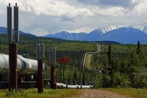
In many places, the road runs near the Trans-Alaska Pipeline, or TAPS, giving you ample opportunities to stop and admire this engineering wonder.
Eventually the road plunges into the mountains. On the day of my visit, more mountains meant more clouds. Every time I was in a flat landscape, there was blue sky overhead, but when the scenery cranked up, so did the grey skies. Even though I was dodging occasional showers, this was still a beautiful drive.
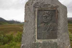
Watch for a plaque honoring Brigadier General Wilds Preston Richardson, the road’s namesake, at one particularly nice overlook turnout. Despite a couple of bullet holes, the plaque has survived nicely, ever since being placed here in 1932.
Shortly after this spot, the Richardson Highway skirts the edge of Summit Lake (you’ll see it in the Drivelapse video, below). Then, you arrive at Paxson.
There isn’t much at Paxson, aside from an abandoned building and an important junction. The Denali Highway begins here, and heads west to Cantwell, Alaska and the George Parks Highway.
Alaska Route 8 is mostly dirt, and it’s closed in the winter and spring, until the snow melts. I detoured out the Denali Highway to Maclaren Pass, then returned to Paxson, and that’s when I discovered my gas tank was nearly empty.
With only fumes in the tank, I didn’t waste any time taking pictures for the rest of the drive south to my stopping point for the night, in Gakona, Alaska, at the Gakona Roadhouse. That final hour of driving was pretty un-scenic, anyway. The road was monotonous and tree-lined.
Beyond Gakona and the Tok Cutoff junction, the next “big” town is Glennallen, on the Glenn Highway. If you continue to follow the Richardson Highway, you’ll end up in Valdez. Sadly, I didn’t have enough time on this trip to drive down to Valdez and back. I’ll get there the next time.
Drivelapse Video
Here’s the drive from North Pole to Delta Junction…
… and from Delta Junction to Paxson…
… and from Paxson to Gakona:

No comments