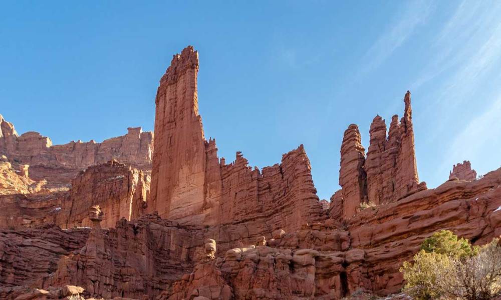
The byway along the Colorado River, north of Moab, isn’t just a scenic road. It’s also a great place to do some hiking. You’ll find an easy trail to some magnificent rock formations at Fisher Towers. These natural skyscrapers loom overhead, and you’ll constantly be straining your neck, looking upward. Best of all, the Fisher Towers hike isn’t very difficult, or very long, and you get some big payoffs long before you reach the end.
Location
Fisher Towers is located along Utah Route 128, near the Castle Valley area. From Moab, head north on US 191. Just before you cross the Colorado River, turn right onto U-128. The turnoff onto Fisher Towers Road is 21 miles from the 191/128 junction. Then, it’s two more miles on a dirt road to the parking area and trailhead.
My Visit
After spending a couple of days in Moab, I thought the best hikes of my trip were behind me. On this day, I needed to drive out of Moab, into Colorado, and reach my motel in Glenwood Springs by sunset. I had some time on my hands, so I decided to spend it on the Fisher Towers hike.
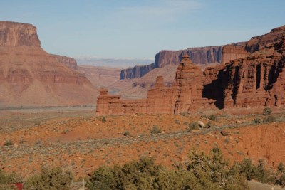
Before you even leave the parking area, you’ll have a great view of the surrounding valley. This view to the north is not Fisher Towers, but it does include some rock fins that you’ll drive past, as you head north on Utah 128.
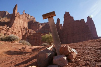
From the trailhead, the view to the north is nicely lit, while early in the day, Fisher Towers is shadowy. No problem — you just need to get over to the other side of them. That’s where the Fisher Towers hike takes you.
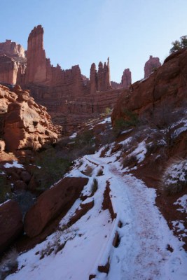
Since I was visiting in late January, parts of the trail along the Fisher Towers hike were still snow-covered. These shady spots were brief and not very treacherous.
The trail drops down from the trailhead, then up again, then down and up again before you start getting to the really interesting parts. It’s a beautiful hike throughout, but this first part was more tiring than I was expecting.
But then, the trail arrives at the top of a ridge and turns towards Fisher Towers.
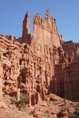
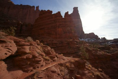
From there on, you’re zig-zagging in and out of canyons, often hiking directly below the towering rock fins of Fisher Towers.
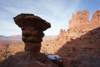
You’ll also find some other interesting features along the way, like this balanced mushroom-shaped rock…
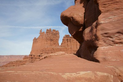
… and this outcropping that looks a lot like a nose.
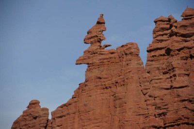
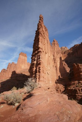
Perhaps the most interesting feature is at the top of one of the towers. It looks like a torch or some kind of manmade sculpture, but somehow it formed up there naturally.
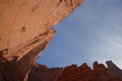
At the base of the towers, you can look straight up, and you’re virtually surrounded by rock walls! The experience is strangely similar to standing on a sidewalk in a big city and staring up at the buildings.
At this point, the trail switches around to the left again, into and out of another side canyon, and then emerges onto the ridge you see on the right. That’s where the trail ends — with a viewpoint looking back on the towers.
The views of the towers along the trail are incredible!
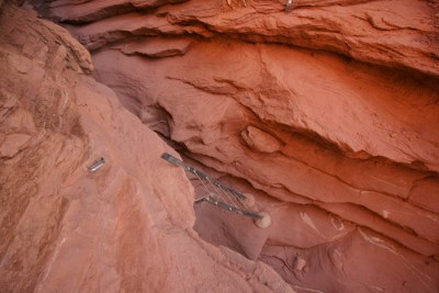
The final scenic viewpoint overlooking the towers is 2.2 miles from the trailhead — but I didn’t make it that far. I was probably a half-mile from the end when I reached this spot. To continue, I would have needed to climb down that ladder and up the other side. I just didn’t feel like doing that. I had hiked a lot in the previous few days, and I was pretty satisfied with what I had seen so far on this hike, so I decided to make this my turn-around point. I’m sure if you continued to the end of the trail, you’d have an even better view of Fisher Towers, but the entire trail had been great, and I was happy.
Drivelapse Video
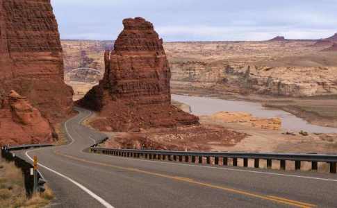
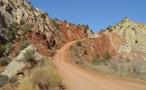
Here’s a look at the drive from Moab to Fisher Towers, and on to Dewey on U-128:
The Bottom Line
Utah 128 is a great drive, and the Fisher Towers hike makes it even better. Despite a few ups and downs in the trail, most people should have no trouble hiking this route. Opportunities abound for photography throughout the hike, not just at the end, which makes the Fisher Towers hike a great choice, even if you don’t want to hike the whole thing.




No comments