While this trip started in Washington, D.C. (at Dulles Airport in Virginia, to be exact), it wasn’t difficult to leave the city behind and head into the countryside. After a couple of hours driving through rolling hills, the mountains grew larger and the space between them became smaller. I didn’t need a road sign to tell me I was getting close to West Virginia–the state simply feels different.
Location
From the DC/Dulles Airport area, I took Virginia Rte. 28 north to Rte. 7, then headed west. Just before reaching the WV/VA border, watch for Harpers Ferry Road (Rte. 671 on a map, although I don’t recall seeing a numbered sign). This road will drop you onto US 340. Make a left (headed west into WV) and watch for the Visitor Center on the left side of the road.
My Visit
Even if you’re not a history buff, you’ll find plenty of reasons to enjoy a stop in Harpers Ferry. The city did play a key role in the Civil War, but it’s also loaded with railroad history, small-town charm, and great views of the Potomac Water Gap (the valley through which the Potomac River flows). Also, the Appalachian Trail runs through town, so day-hikers or more serious adventurers can use Harpers Ferry as a starting point.
I parked at the Visitor Center on US 340, and discovered that park visitors are supposed to take a shuttle into town (the lower end of the town is maintained by the National Park Service, as Harpers Ferry National Historic Park). You can drive into town, but parking will likely be a problem. Unfortunately, it seems the visitor parking area is a long distance from the town–especially aboard a bus that tops out at about 15 miles per hour. The bus drivers aren’t in any hurry either, so you might lose some precious road-tripping time during this step. At least there are occasional views of the Shenandoah River, the old C&O Canal, and a few ruins to entertain you along the way.
Once the bus ride is over, you’ll be dropped off near the end of Shenandoah Street.
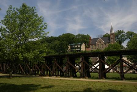
For a look at the Shenandoah River, walk underneath the railroad trestle. From the other side, you also have a nice view looking back at the lower end of town. On this side of the trestle, there used to be a few buildings and streets.
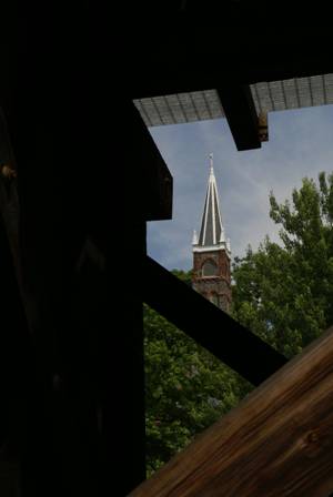
From here, the most prominent feature of Harpers Ferry is St. Peter’s Church.
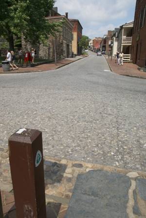
Heading into town, you’ll briefly meet up with the Appalachian Trail. From the north, the AT enters town across the railroad bridge (we’ll walk across it in a moment), then follows Shenandoah Street to High Street (the intersection you see above). It follows High Street for about half a block…
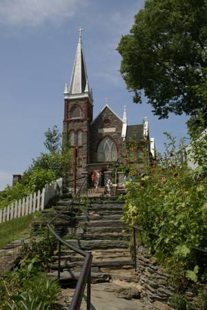
… before climbing the Stone Steps, to St. Peter’s Church.
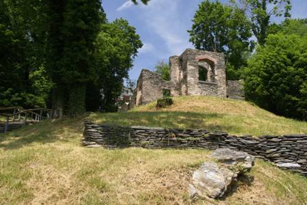
Just beyond St. Peter’s Church is the ruins of St. John’s Church. Only the stone walls remain.
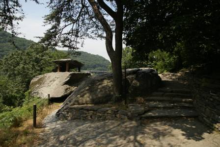
As the AT continues, it passes Jefferson Rock.
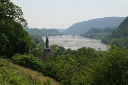
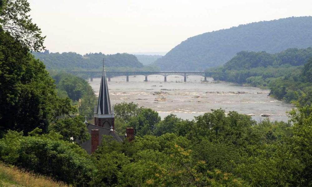
Jefferson Rock is a great place to view the Potomac River. The bridge in the distance carries US 340 from Virginia into Maryland.
After you’ve grown thoroughly exhausted from your climb up the Stone Stairs (and beyond), head back down into Lower Town Harpers Ferry.
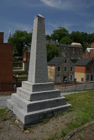
On your way to The Point (a viewpoint of the confluence of the Shenandoah and Potomac Rivers) and the railroad/foot bridge over the Potomac River, take note of the concrete marker, just above Potomac Street. This obelisk marks the original location of John Brown’s Fort. The site of the former armory (the target of John Brown’s raid) lies just behind it.
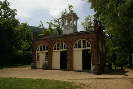
Nowadays, the fort is just a few hundred feet away from its original location, at the end of Potomac Street. The fort originally served as the armory’s fire engine house, and some of the old equipment is still on display there. It didn’t become a fort until John Brown used it as such, during the final moments of his raid.
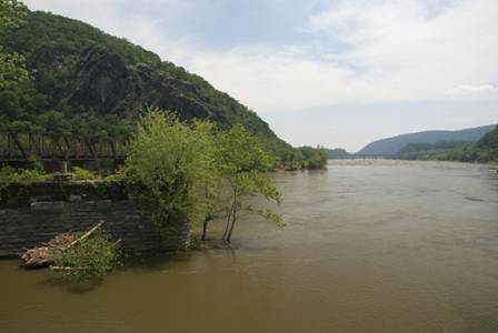
At the end of Shenandoah and Potomac Streets, a footpath (and the Appalachian Trail) continues, running underneath the railroad tracks and up a small hill. Here, you will find The Point, overlooking the confluence of the two rivers.
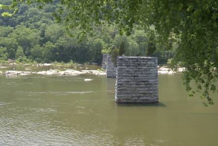
You’ll also notice the pillars of a bridge that no longer crosses the Shenandoah.
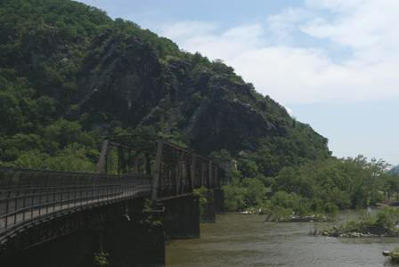
Continue to follow the trail up to the railroad bridge…
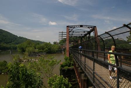
… and over to the Maryland side.
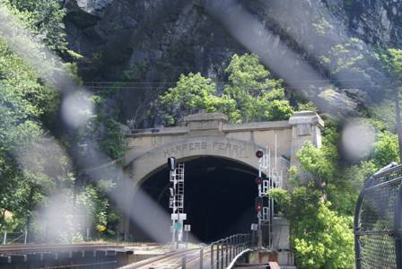
At the end of the bridge, the railroad tracks head into a tunnel. The tracks are fenced off, and this is as close as you can get. Walk down a spiral staircase…
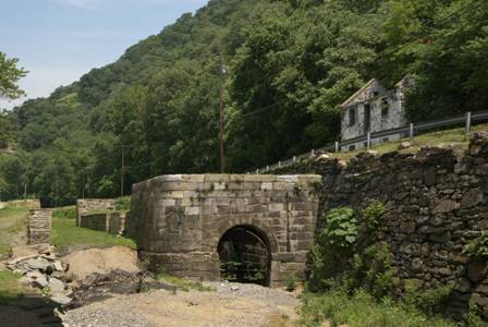
… and you’re at the C&O Canal. Here, you can take a close-up look at Lock #33 along the historic towpath.
Note: This trip was first published in 2008.



No comments