Getting across the Continental Divide in Colorado is challenging, no matter which way you do it. Interstate 70 probably provides the easiest way, although it’s still an intense, engine-straining climb, followed by a brake-burning descent. In the middle, there’s the Eisenhower Tunnel, the highest tunnel in America’s interstate system (at 11,158 feet). The tunnel cuts underneath the Continental Divide — but before its construction in the 1970’s, you had no choice but to go over the divide. And that meant a trip up to Loveland Pass.
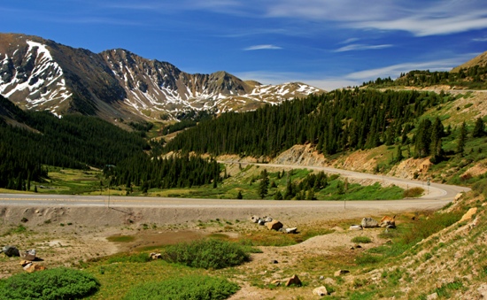
Loveland Pass is located on US Highway 6, which splits off from I-70 to provide an alternative route for haz-mat truckers and mountain-climbing adventurers. Above, you see US-6 as it climbs to the pass from Silverthorne, and the Keystone and Arapahoe Basin ski areas.
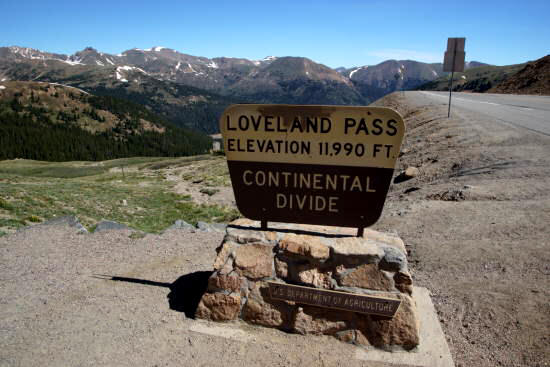
The summit of the pass is at 11,990 feet…
… and if you feel the need to say you’ve been above 12k, you can climb up the small hill next to the road, to make up the additional 10 feet.
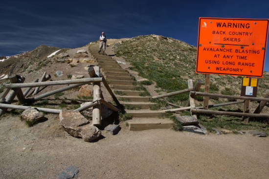
There are two popular options for hiking at Loveland Pass: you can either go east or west. That big staircase is on the west side of the road…
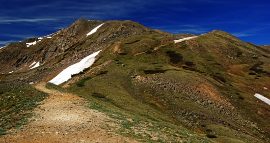
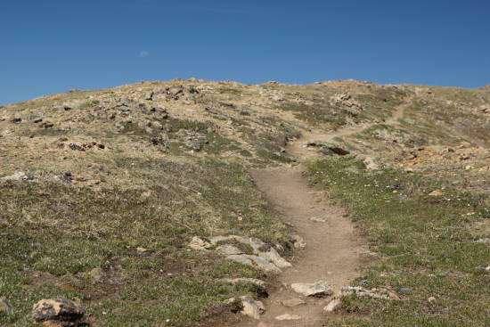
… and at the top of it, you’ll find this trail. As far as I know, it doesn’t have an official name.
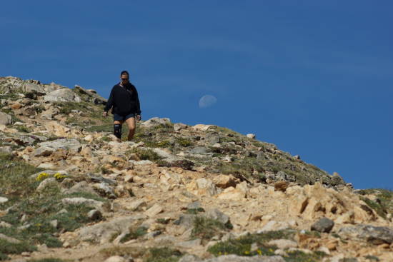
The trail follows a ridge that runs southwest, then curves back to the northwest. But to get to the ridge, you’ve got to do some climbing, gaining perhaps about 500 feet or so. It’s a challenging climb, but do-able if you’re in moderately good shape.
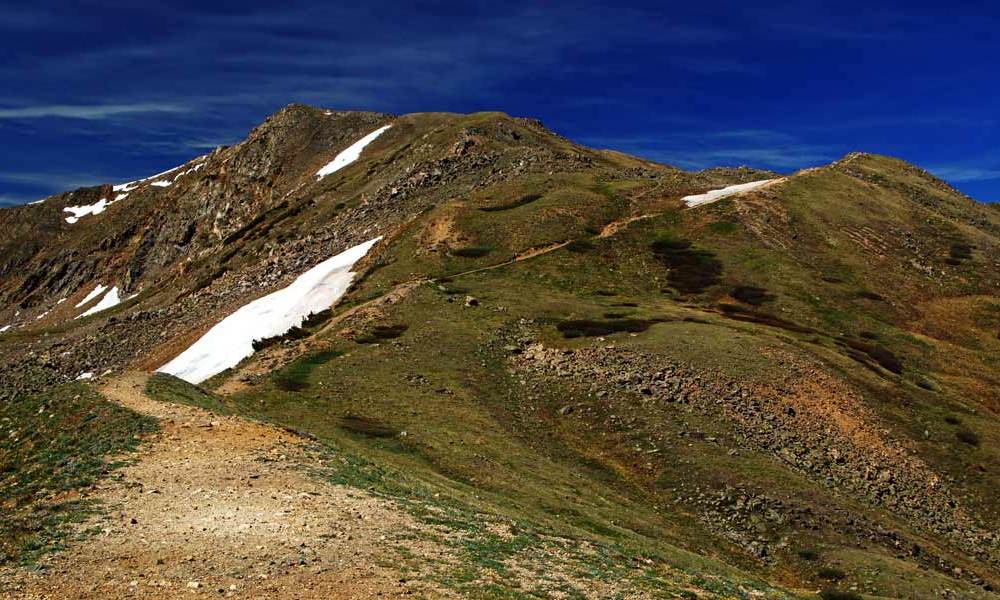
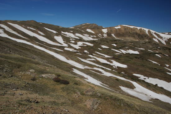
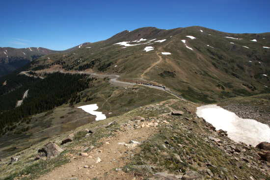
Once you’ve gained some elevation, you’ll have a nice view of what lies ahead. Expect to find patches of snow in June, and if it’s been a severe winter, possibly even later into the summer.
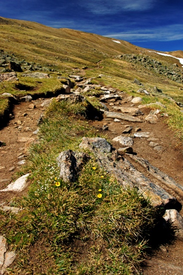
I only found a few small wildflowers growing up here, but that’s probably because I had arrived in mid-June. Just a few weeks earlier, and this trail was probably still covered in snow. A few weeks later, and more wildflowers were likely blooming.
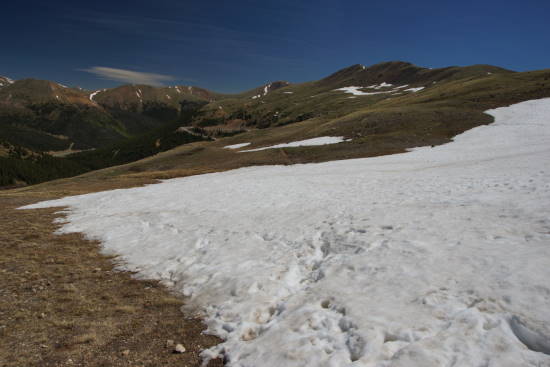
Speaking of snow, I had to hike through a couple of snow fields, which was more difficult than I expected. Warmer temperatures meant softer, slushier snow. There were no hard-packed areas, that allow you to walk on top of the snow — instead, I sunk in to my knees, then felt like a fool as I struggled to climb out, only to sink in again and again. (On the return trip, I circled around the lower end of the snow field.)
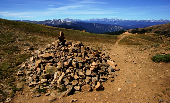
Finally at the top of the ridge, I discovered some piles of rock that were either placed there to honor my accomplishment, or more likely to provide a wind shelter. I’m amazed that there can be so little air, but so much wind in the same place.
Do a little more climbing…
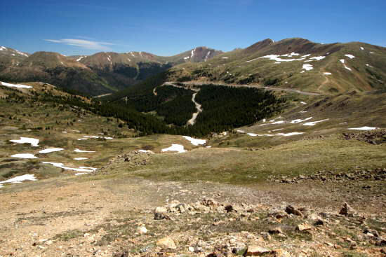
… and your efforts will pay off, with a spectacular view to the north. At the bottom of that valley on the left side of this photo, you can see Interstate 70. In the middle, you can see US-6 making its rapid descent to the freeway.
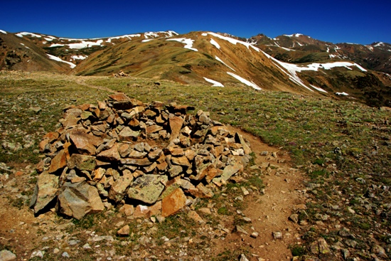
Several more wind shelters marked my turn-around point. You could keep going, and follow the ridge up to the top of that next mountain. It looks deceptively easy, but you do have to lose and re-gain some elevation between here and there.
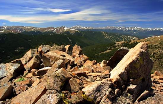
I think this is the view looking south, and if I’m right, that’s probably the Arapahoe Basin ski area in the upper-right corner of the photo.
Looking north, here’s a panorama of the view you’ll enjoy, as you hide on the calm side of the wind shelter.
On the way back down, you’ll have a great view of the trailhead and parking area at Loveland Pass. You’ll also have time to ponder your next hike. Do you really want to climb another mountain? One that’s bigger than the one you just finished? One that tops out above 13-thousand feet?
Yeah, you do.
On the next page, we’ll tackle Mount Sniktau, conveniently located on the other side of US 6.
Drivelapse Video
Here’s the time-lapse, dash-cam video of the drive up and down Loveland Pass, then through the Eisenhower Tunnel, and down to the starting point in Silverthorne.


No comments