At best, you can only skirt the edges of Olympic National Park, since no roads cross over its rocky range. But one of the best access points for the park begins at Port Angeles: the road to Hurricane Ridge.
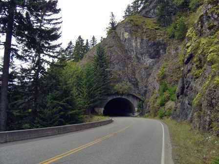
Above: the first in a series of three short tunnels, drilled through the side of the mountain. The rest of the road clings precariously to the hillside.
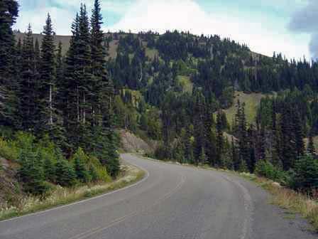
As you climb out of Port Angeles, look for places to pull off at the side of the road. You’ll find several great views of the Strait of Juan de Fuca, although the best views are still ahead.
[tmt_info =""]Port Angeles is an excellent point to take a detour into Canada. Ferries run across the Strait of Juan de Fuca to Vancouver Island, and the city of Victoria. It’s my understanding that you can easily explore Victoria on foot, so you really don’t need to take your rental car over the border. Unfortunately, I didn’t have time for this side trip.
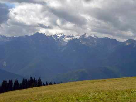
About 20 minutes from Port Angeles you’ll reach the visitor’s center at Hurricane Ridge. No hiking is necessary to experience a great view of Mount Olympus, and the other jagged peaks which surround it.
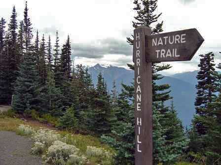
Drive a mile or so past the visitor’s center, and you’ll reach the parking area for the Hurricane Hill trail. The path is paved for the entire 1.6 mile (one way) trip up the ridge.
The trail is almost flat in places, but at least two spots will strain your lungs and your leg muscles. Fortunately, the park has placed a few informational plaques along the side of the trail. Go ahead, stop and read them, act interested. Maybe no one will know you’re just catching your breath.
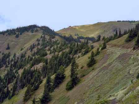
If you thought the road up to Hurricane Ridge clung tightly to the mountainside, wait ’til you see the trail. Slip off the side, and you’d easily tumble hundreds of feet downhill, with nothing but a few wind-swept pines to stop you.
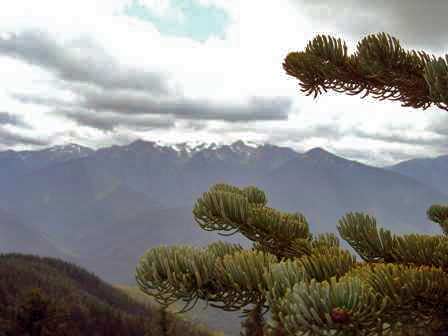
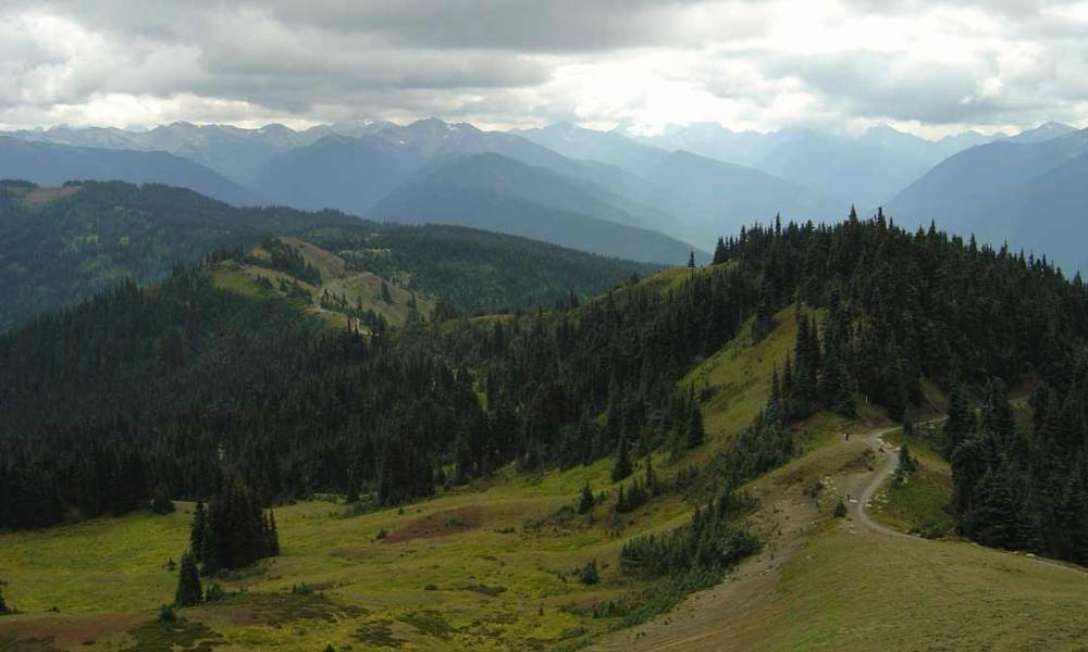
The entire path is essentially a mile and a half long viewpoint. Stop anywhere and take in the view of the Olympics.
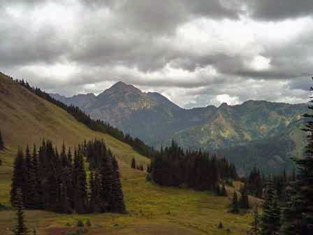
Before climbing up the final incline, you’ll notice these colorful mountains in the distance. But you won’t know what’s behind them until you reach the top.
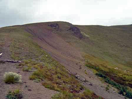
This spot is well protected from direct sunbeams, and remains covered with snow for most of the year. I didn’t find any powder (or in September, slush) here, but I did see a bit of the white stuff, at the end of the trail.
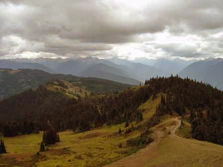
Here’s a look back at the trail. You can almost see the parking lot from here, but it’s a good mile or more away.
Once you reach the top of Hurricane Ridge, there are 3 viewpoints, with none more dramatic than the highest one (of course!). The panorama below wraps around 360o, and only provides a small sense of what it’s like to see it in person.
Earlier I told you there was a surprise over these colorful hills. The ridge-top revelation? A stunning view of Port Angeles, the Strait of Juan de Fuca, and Vancouver Island.
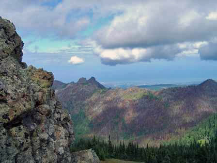
While standing at this viewpoint, I listened as several people crested the hill, and captured their first glimpse. The first word out of everyone’s mouth? “Wow.”
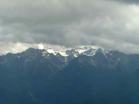
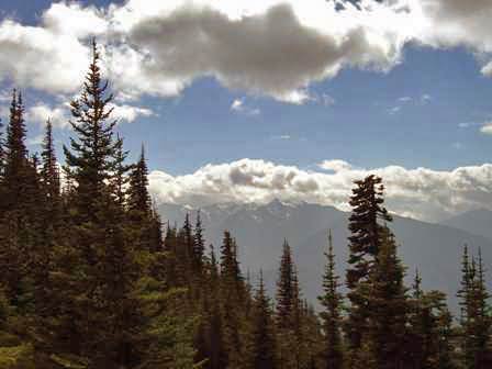
Turn away from the Port Angeles view, and you find more mountains, including the often cloud-shrouded centerpiece, Mount Olympus.
Here’s another 360o view, taken from the lowest of the 3 viewpoints.
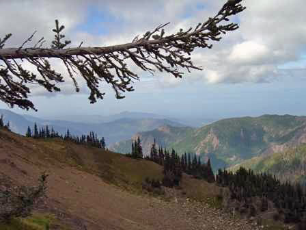
Trails wind around the top of Hurricane Ridge, none going very far, but several do take you right to the edge of steep drops, so watch your footing.
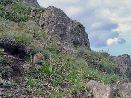
You’ll likely encounter a little wildlife on Hurricane Ridge, although these chipmunks aren’t nearly as wild as they should be. They’ve learned that people bring food, and they’re not afraid to demand it.
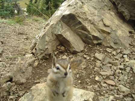
Don’t be surprised if these chipmunks end up under foot, or even on your foot or leg. As soon as they figure out you don’t have a snack, they take off.
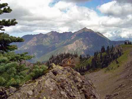
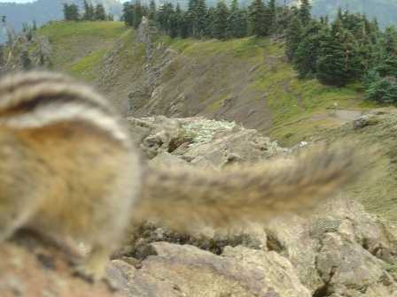
These chipmunks move fast.
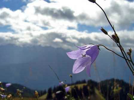
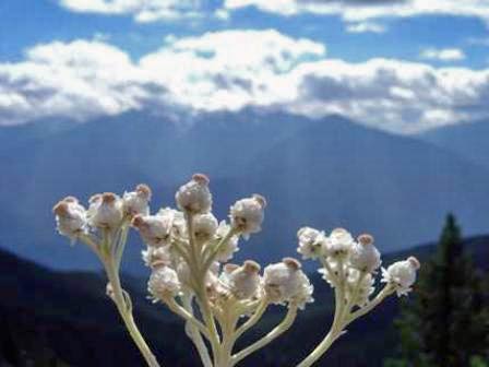
Back on the trail, watch for wildflowers blooming along the ground. During my visit in early September, there weren’t many. You’ll probably find more earlier in the summer.
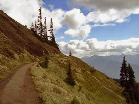
Even the paved portion of the trail is narrow, and drops off suddenly at the edge.
There are other trails you can explore in this area of the park, but since my time was limited, I chose to hit the road, driving back down to Port Angeles, then west, towards Lake Crescent.
Note: This trip was first published in 2004.



No comments