This is an unmarked trail that most casual visitors to Zion National Park will never find. However, it’s quite an experience. The trail follows a natural drainage uphill, perhaps a mile or slightly further, and ends when the canyon narrows. It’s known as “Many Pools” because of the dozens of potholes along the route — many of which are filled with water, providing great reflections for photographers. It’s also known as one of the “Root Canal” routes because, on a topographical map, the drainage looks like the root of a tooth.
My Visit
Thank goodness this trail is unmarked. It’s a special treat to find a trail with big rewards, that’s not terribly difficult, and won’t be packed with people.
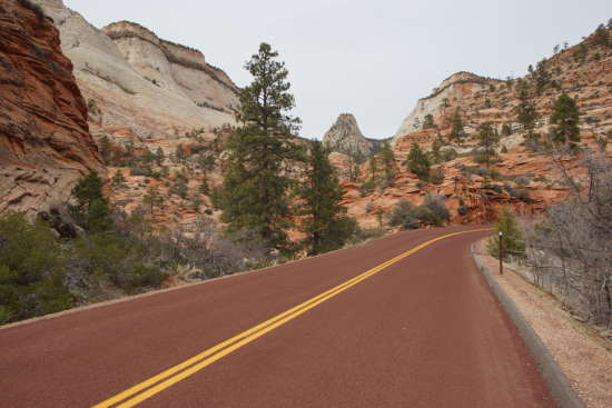
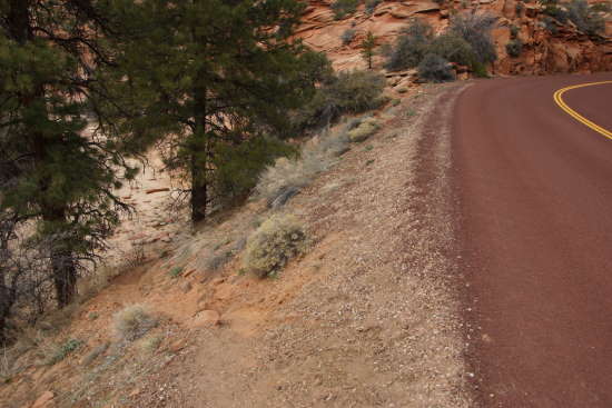
Take a look at the picture above. This is the start of the trail — over on the left.
There’s a dirt path that drops down into the drainage below the road. Certainly not official, huh?
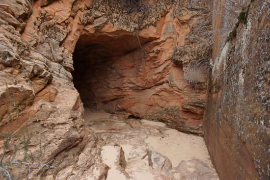
At the bottom of that path, if you turn left, you’ll end up at this tunnel, which passes underneath Route 9. There might be more good hiking beyond the tunnel — I don’t know.
After inspecting the tunnel, and figuring out that this wasn’t the direction I wanted to go, I made a u-turn, and followed the drainage uphill. The proper direction is a bit vague at first — it looks like the drainage could veer to the left or the right. I kept to the left at first, but soon realized that I wasn’t headed in the right direction, so I cut over to the right.
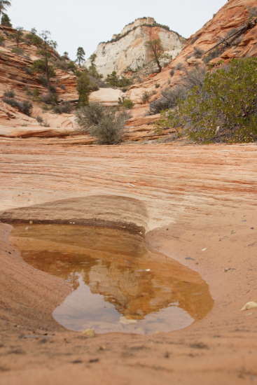
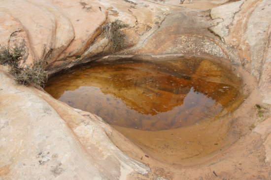
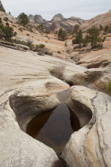
So how do you know if you’re on the right path? Almost immediately, you’ll start seeing eroded potholes like this one. Some are shallow…
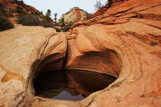
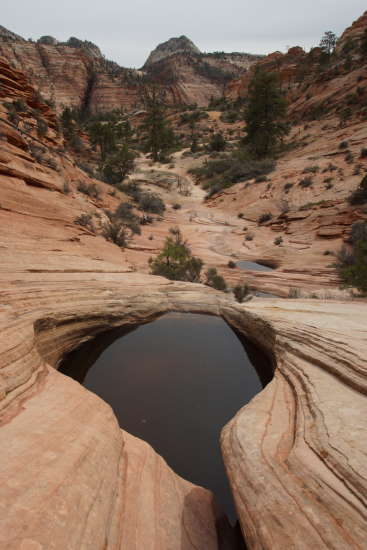
… while others are deep, dramatic, and beautifully sculpted.
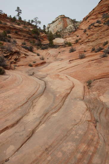
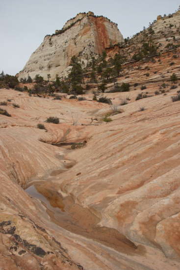
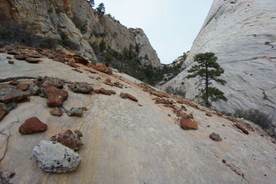
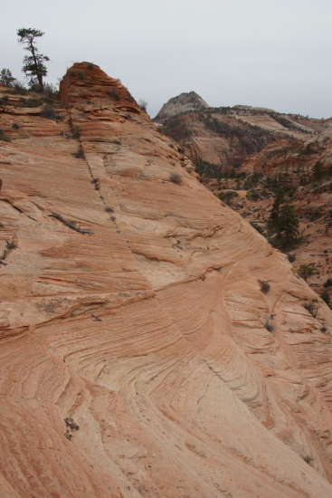
Even in the spots where there are no pools, you’ll still be hiking over some impressively eroded slickrock.
Sadly, on the day of my hike, the weather wasn’t perfect. I would have loved to see a bright blue sky, and enough sunlight to set the red rocks on fire. I resolved to enjoy the hike and take a few pictures, knowing that I’d need to hike this trail again, on a clear day.
The trail starts at about 5,400 feet, and gains about 600 feet by the time you reach my turnaround point. About a third of the way there, I turned around, and found this great scene to the south.
Keep following the drainage uphill.
Is it just me, or does this look a little like an eye?
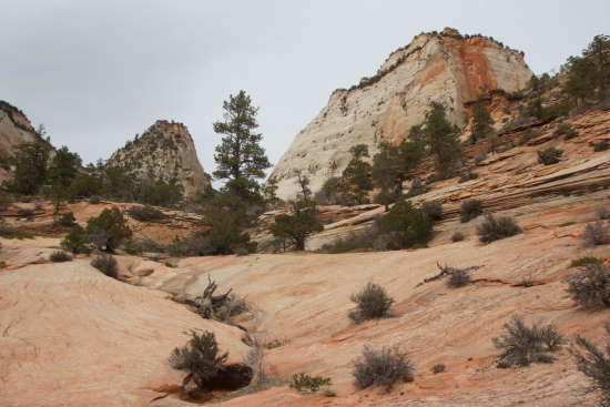
It’s getting obvious where we’re headed — in between those two mountains. They aren’t really mountains at all — they’re just the edges of a plateau. Up on top, and a bit further north, is where you will find the East Rim trail.
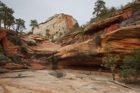
During a flash flood, this would be a pretty impressive waterfall. Of course, you wouldn’t want to be anywhere near this trail if a flash flood was possible.
You can easily get around this dry waterfall and up to the top.
More pools await, until the point where the canyon narrows.
I decided to make this my turn-around point, for a few reasons. One, there was no level place to hike — I would either be on a steep slope over here, or on the other side. Also, it wasn’t especially late in the day, but the sun had dropped far enough that this canyon was in shadows. Without any sunlight (whatever managed to make it through the clouds), it was chilly, and the photography was tricky.
I turned around, and on the return, I stayed further to the left, at times avoiding the bottom of the drainage and instead, skirting the slope.
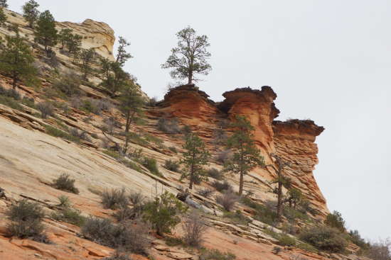
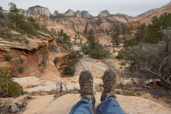
I decided to head towards this outcropping…
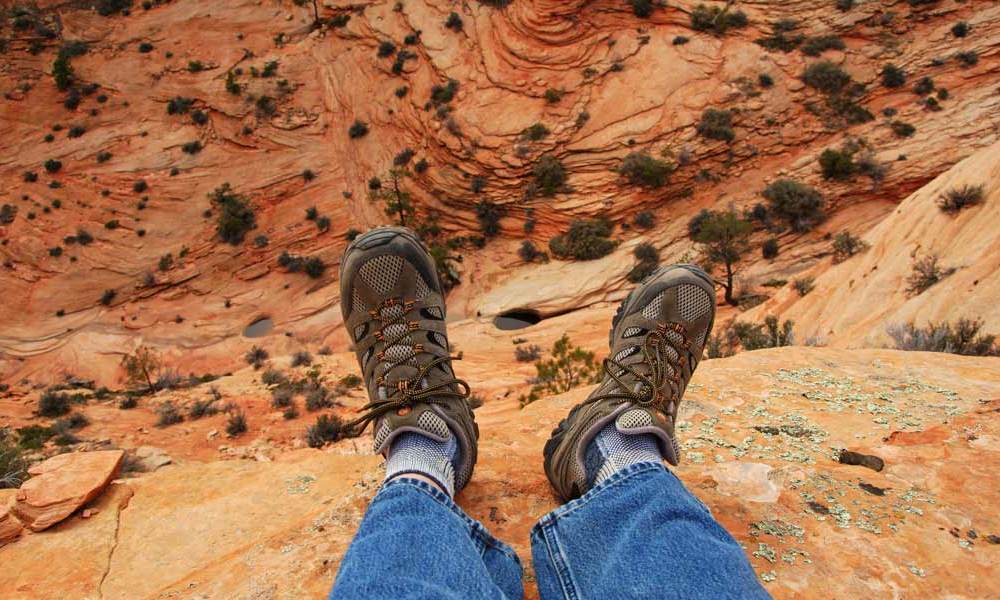
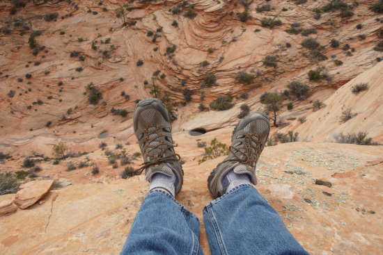
… which provided a nice perch for a few predictable photos of my feet. This one looks to the south, back towards Route 9 and the little-explored southern part of the park.
I also had a nice view looking straight down, at some of the potholes I had photographed earlier.
The slope was too steep here, so I had to backtrack a bit, to find a less drastic descent.
The Bottom Line
I’m definitely going to hike this trail again, the next time I’m in Zion. During cloudy weather, it was a fun, comfortable hike. Under blue skies and sunshine, it will be hotter, but it will also be stunningly beautiful, with great reflections from all of those potholes.
If you’re willing to scout out your own trail along an unmarked path, and you’re looking for solitude in a crowded park, I think you’ll enjoy this hike.
Location
The trickiest part of this trail is finding it. The trailhead is located on Zion’s east side, east of the Zion-Mount Carmel tunnel.
Watch for a parking area on the outside of a big curve, 2.3 miles from the east entrance to the tunnel. Park there, then walk a short distance on the road, headed east. Keep an eye on the left side of the road, looking for a path that takes you down into the drainage. The trail begins here.
Drivelapse Video
Check out this time-lapse, dash-cam video of the drive from Springdale, through the Zion-Mt. Carmel Tunnel, and through Zion’s east side.

No comments