As I awoke on day six, I crossed my fingers and walked to the window in my hotel room. I hoped that as I peeled back the heavy curtains, a brilliant beam of sunlight would temporarily blind me. Then, I would stare out for a moment on beautiful, bright Missoula, before excitedly preparing for the day ahead.
The only part that actually happened, was the crossing my fingers part. Western Montana had gone from mostly cloudy to downright miserable, and I suddenly questioned the remainder of the route I had planned. Should I make a bee-line west, and try to escape this damp misery? NO! I was in Missoula, and gosh darnit, I was going to hike to the Big “M”.
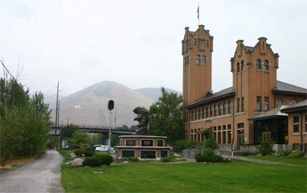
Before heading up to the “M”, I decided to drive around Missoula for a while, to get a taste of this college town. The city is sliced in two by the Clark Fork River, and a nice walking/biking trail that follows the path of the Old Milwaukee Railroad. As I wandered, I came upon the old Milwaukee Road Depot, which is just below Higgins Avenue on the south side of the river. The old Depot is now the headquarters for the Boone & Crockett Club, a group of “conservationists and sportsmen who would provide the leadership needed to address the issues that affect hunting, wildlife and wild habitat.” At least, that’s what their website says. It didn’t appear to be open to the public, so I didn’t go inside.
It is good, though, that I took this picture, because I later discovered it was the only picture I took that shows the “M” from a distance.
Now, to get closer to that “M”. I continued to drive around in the rain, and discovered that the University of Montana’s campus is just as crowded with parked cars as, well, every other college campus in the country. Signs were everywhere, warning of the consequences of parking without the proper permits dangling from your rear-view mirror. I was almost discouraged from the hike altogether as I circled around the backside of the campus, and discovered a large parking lot, directly below the “M”. Almost all of the parking spaces threatened to tow my car if I dared to park there, except for one row, which was reserved for 1 hour parking, for people who wanted to tackle the Big “M” trail. Best of all, there was one empty spot waiting for me. “A sign,” I thought, choosing to ignore the steady rain and chilly temperature.
The hike up to the Big “M” is not at all enjoyable, unless I suppose, you’re in great shape. They don’t have Big M’s or switchback trails or even any hills at all where I come from (flat, sunny Florida), so I knew this would be a challenge. I put on a jacket to protect against the cold, and a ball cap to keep the rain out of my face (a drop would fall off the brim about every six steps), and set out to climb Mount Sentinel.
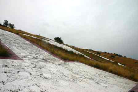
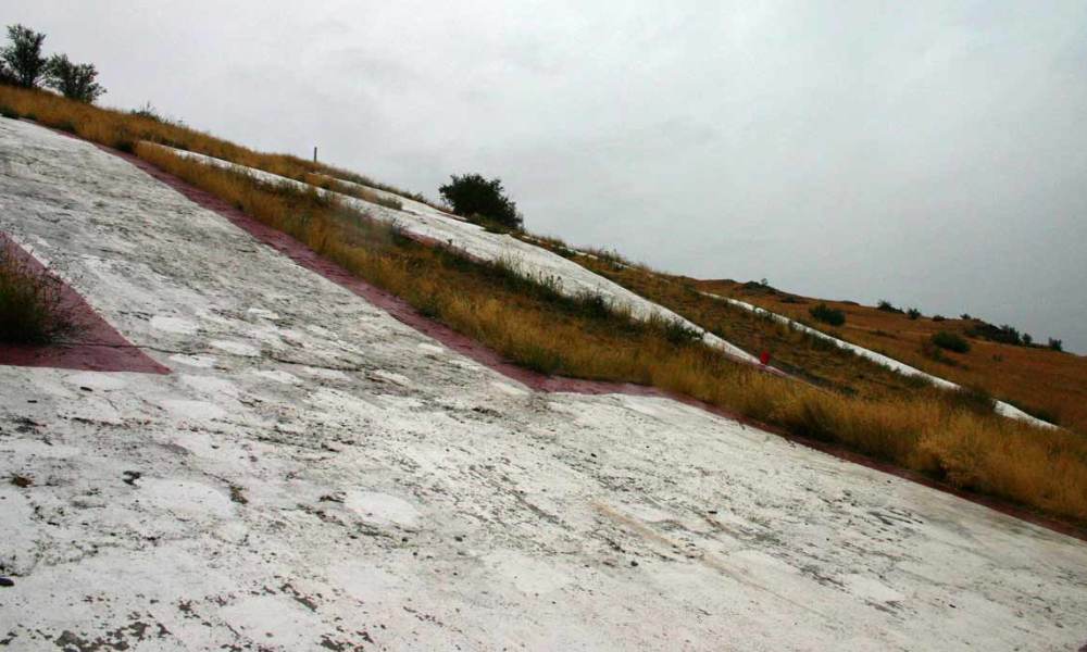
After rounding more than a dozen switchbacks (17, I think, if I’ve counted correctly on the satellite image from Google Maps) I finally made it. Once you’re there, the “M” is too large to fit into a picture. I also discovered its face is too steep to safely climb, at least, when it’s wet.
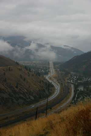
The best thing about the Big “M” trail is the views you can enjoy, once you’re at the top. Look to the east, and you see I-90 cutting through the mountains on its way to Butte.
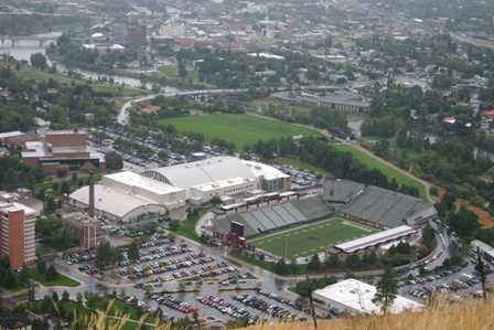
Look straight down, and you see the University of Montana’s football stadium…
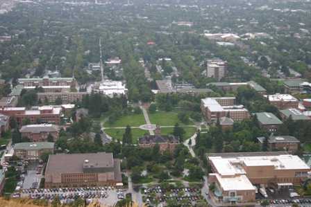
… and the campus…
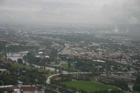
… and on the other side of the Clark Fork River, downtown Missoula. I’m sure it would have all been much more beautiful, on a less dreary day.
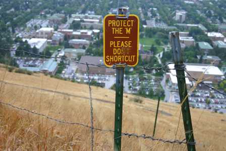
You really don’t have any choice but to stay on the trail. Even with the switchbacks, it’s still quite steep. If you tried to head straight down, you’d probably go rolling down head first.
Once back at ground-level, I headed out of Missoula. I’m sure there was more to do, but I figured I had probably already caught a cold with my 620-vertical-foot hike up a hillside in the cold rain.
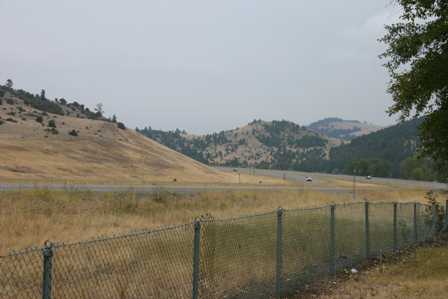
There wasn’t much to stop for along Interstate 90, east of Missoula. Every inch of the landscape was beautiful, or at least it would have been, if the sun had broken through. Instead, it was a dreary drive. I took this picture at a rest area just to prove it.
Also worth a note: there’s an alternative route to Butte that might be scenic and rewarding. At Drummond, exit I-90 and hop on MT Rte. 1 (also US Hwy. 10a). This route will take you past Phillipsburg, Georgetown Lake, and the mining town of Anaconda. You will have to sacrifice a visit to Helena, though, if you choose this route.
Note: This trip was first published in 2006. Much of the same area was covered in the Big Sky trip in 2014.



No comments