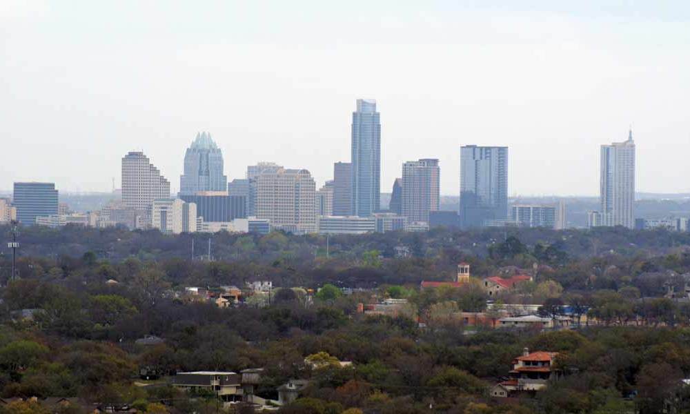
To quickly get a lay-of-the-land, I made Mount Bonnell my first stop on my way into Austin, Texas. For more than a century and a half, Mount Bonnell has been a popular tourist attraction, since it rises up alongside the Colorado River, providing a great view up and down the river. These days, you also get a great view of the Austin skyline.
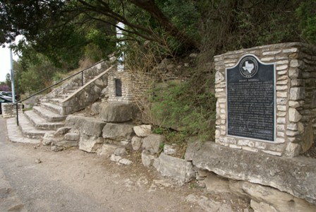
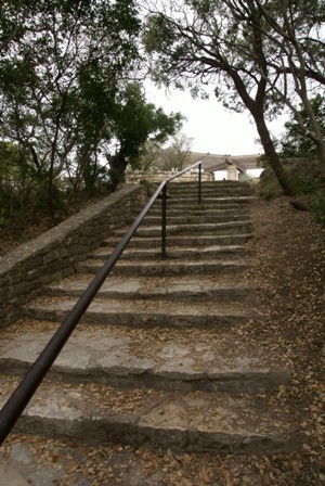
From the parking lot, it’s a quick hike up a long set of stairs…
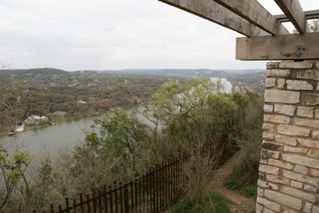
… to reach the picnic and viewing area at the top of Mount Bonnell.

The Colorado River (which at this point is part of Lake Austin) is almost directly below you.
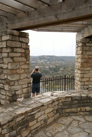
There’s an open-roof structure at the top of the hill that may provide a little shade on a sunny day, but it won’t help if a storm pops up.
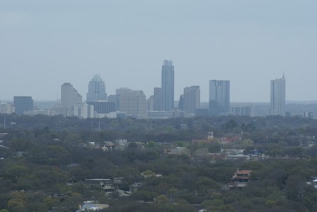
Take a few dozen steps south of the pavilion and you’ll find a perfect view of the Austin skyline, towards the southeast.
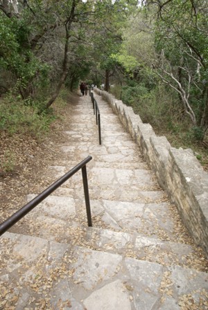
And the best news of all is, the walk downhill is easier than the climb!


No comments