Phantom Canyon Road follows the old path of the Florence and Cripple Creek railroad, which, in 1894, connected the mining towns of Victor and Cripple Creek with the outside world.
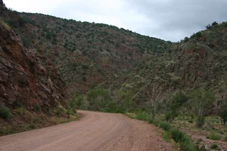
At Cañon City, you have your choice of three scenic highways–all of which lead to the mining towns of Cripple Creek and Victor. High Park, Shelf, and Phantom Canyon Roads are all part of the Gold Belt Tour Scenic and Historic Byway. The easiest to drive is High Park Road, which begins as CO Rte. 9 west of Cañon City. Shelf Road (named for the “shelf” that carries the narrow, one-lane road along the mountainside) begins along CO Rte. 115 east of Cañon City. Finally, Phantom Canyon Road (my choice) turns off of US Hwy. 50 about 8 miles east of Cañon City.
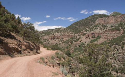
The road climbs gently the entire way, starting off in this small canyon.
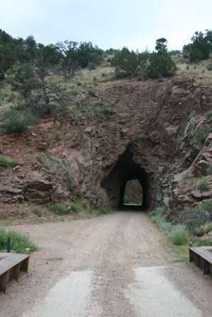
The route passes through two tunnels, blasted through solid rock…
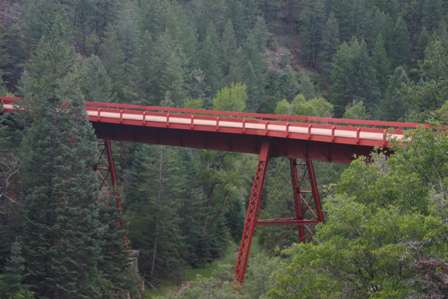
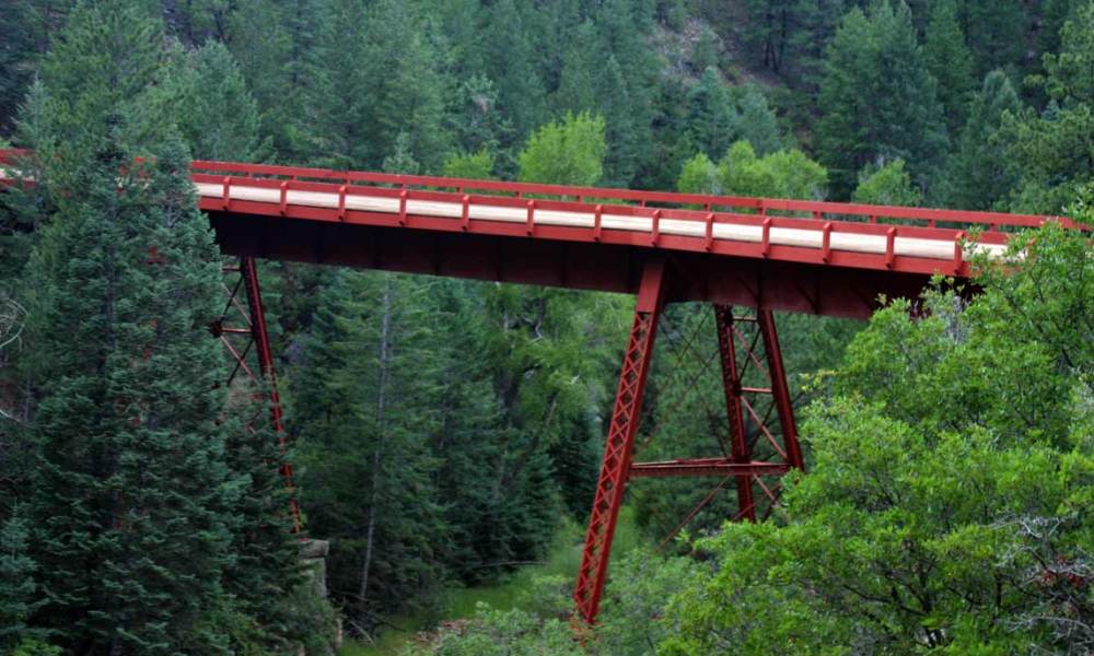
…and over three bridges. The only original railroad bridge that remains is the Steel Bridge, which is roughly at the halfway point.
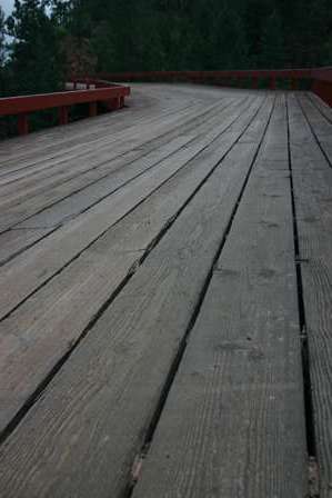
The bridge has recently been restored. You’ll find interpretive signs and a parking area at the south side.
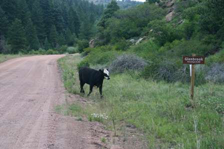
As you slowly climb through Phantom Canyon into Cripple Creek, road signs mark the locations of old town sites, that sprung up along the route. Almost nothing remains at any of these town sites, except of course, the occasional herd of cattle.

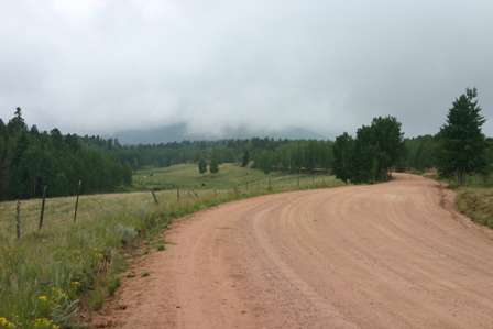
As you approach Victor, the road flattens out and widens, passing through rolling farmland.
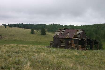
Here you will find a few old barns and ghost-shacks, all on private property.
Phantom Canyon Road ends just outside Victor. Cripple Creek is just a few miles up the road. Use CO Rte. 67 to take you through Cripple Creek, and on to US 24 (which will then lead to Manitou Springs and Colorado Springs). Because of the foul weather, I decided I would return the next day to explore these fascinating old towns.
While I decided to drive on to Manitou Springs to spend the night, it probably would have been better to stay at one of Cripple Creek’s hotel/casinos. This would have saved me the extra drive to and from Manitou Springs (which was a waste of time, thanks to the rainy weather).
US Hwy. 24 Outside Manitou Springs
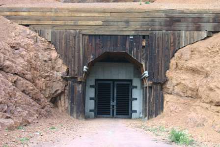
I didn’t find much of interest along CO Rte. 67 (north of Cripple Creek) or US Hwy. 24 (between Florissant and Manitou Springs), just another mountain pass to climb and descend. I only stopped to check out one interesting sight at the side of the road: this old tunnel.
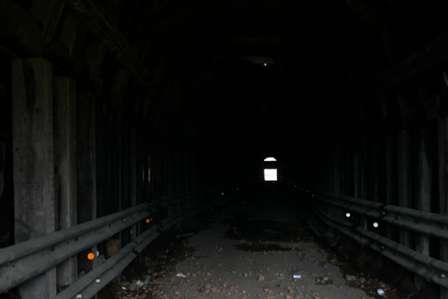
I read the vandalized sign at the entrance to the tunnel, that explained something about how the road used to run through here before a bypass was constructed around the hillside. I wasn’t terribly impressed, so I moved on.
There are plenty of decent places to stay along Manitou Avenue in Manitou Springs. Most are older, family run motels, but are still clean and reasonably priced.
Manitou Springs has many great restaurants to choose from, on Manitou Avenue. I ate at two: the Stagecoach Inn (good food but a bit pricey, nothing special) and the Loop (a great Mexican place, that served an outstanding chile verde).
Note: This trip was first published in 2005.




No comments