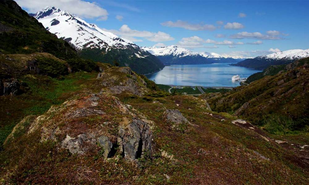
One of the best reasons to pay for a trip through the tunnel to Whittier is to hike the Portage Pass Trail. It’s an easy-to-moderate trail that takes you up to a beautiful pass, then down the other side to Portage Lake and Portage Glacier. You’ll enjoy beautiful views of Passage Canal (Whittier’s inlet on Prince William Sound) on the way up, and views of the glacier on the way down the other side.
Location
Portage Pass Trail is located on the Whittier side of the Anton Anderson Memorial Tunnel. From the Seward Highway, take Portage Glacier Road through the tunnel. Once you exit the tunnel, take the first turn to the right — it is marked with a trailhead sign. The trailhead is a short distance up the dirt road.
Keep in mind that traffic passes through the Anton Anderson Tunnel at :30 past the hour (inbound into Whittier) and on the hour (outbound to Anchorage), so plan your arrival and departure times accordingly.
My Visit
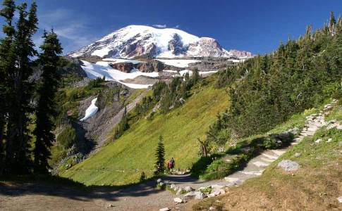
The first few minutes of the hike up to Portage Pass will be the least fun you have all day, but don’t worry, it quickly gets better. The start of the trail is surrounded by tall brush, and views are limited. There’s no easy part here — the trail simply goes up and up and up.
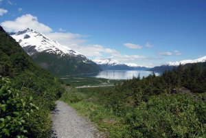
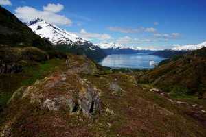
But that’s good, because before long, you can see over the brush and you start to enjoy the view.
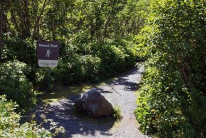
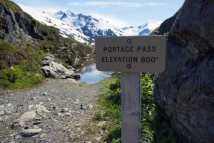
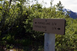
Since you started near sea level, it’s about an 800 foot climb to get to Portage Pass. You’ll know you’re here when you see the sign, and the trail splits in several directions. At the pass, you can explore to the left or right, or keep going forward.
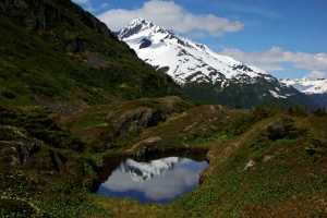
The tiny pond at the pass provides a nice reflection of the surrounding mountains when the wind is calm.
There are numerous little ponds, or tarns, scattered around the lumpy landscape in this area — all of it carved by glaciers.
The area around the pass is really nice, and you could easily make this spot your destination. It’s only about a 20 minute hike up, and then you could spend an hour or two exploring the area and soaking in the view.
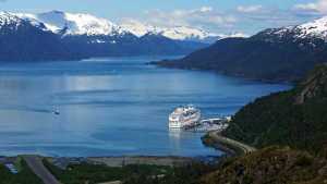
Up here, you can’t see the town of Whittier (it’s around the corner to the right), but you will enjoy a great view of Passage Canal. Most likely, there will be a cruise ship parked at Whittier’s terminal. If you’re cruising into or out of Anchorage, this is your stop.
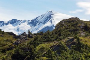
Once you’re done enjoying the surrounding mountains at the pass, set your sites on another destination:
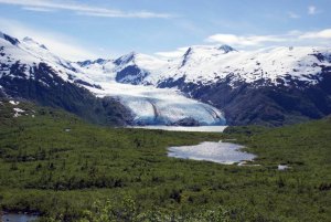
Looking southwest from the pass, you’ll have an excellent view of Portage Glacier and Portage Lake, as well as Divide Lake (a small pond that looks big from this perspective). Follow the trail down the hill…
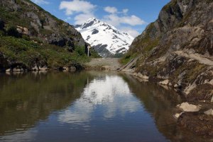
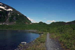
… to the edge of Divide Lake. It’s shallow, and I didn’t find it to be very good for photographic reflections. Notice the big, rounded mountain on the left — that’s Maynard Mountain, through which the Anton Anderson tunnel passes.
It’s still another 3/4 mile downhill to Portage Lake. Keep in mind that you’ll have to re-gain that elevation on the return trip.
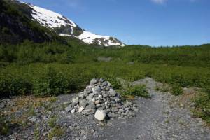
As you arrive at the lake, the trail passes onto a wide gravel beach. Keep an eye out for this pile of rocks — it will help guide you back to the trail when it’s time to hike back.
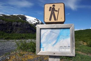
At the edge of the lake, a hiking sign also helps mark the end of the trail. From here on, there’s no definite path, but you can wander in several directions.
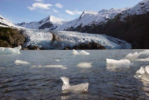
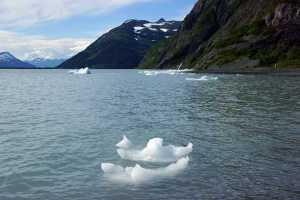
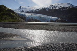
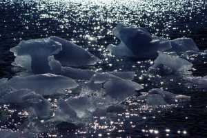
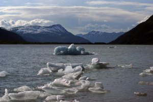
At the end of the trail, you can look straight across the lake for a great view of Portage Glacier, and plenty of tiny icebergs between here and there.
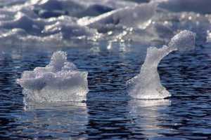
These chunks of ice are like mini-sculptures, constantly changing as they bob in the (only slightly warmer) water.
At the lakeshore, I decided to turn left and follow the beach around to the glacier — or at least, as close as I could get.
It took me about 20 minutes to skirt the edge of the lake around to this point — where a creek blocked my path. It was just deep enough, and fast-moving enough, to be impassable. Of course, conditions may change when you visit.
It also may be possible to hike upstream (to the left) for a few minutes and find a passage. I’m also fairly certain that there’s a nice waterfall up there. But, my time was limited, and I was already calculating my hiking time to avoid a long wait at the tunnel.
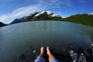
I did, however, have enough time to relax for a few minutes, and dip my feet into Portage Lake’s icy-cold glacier water.
Here’s a panoramic shot of Maynard Mountain. Portage Pass is on the right, and the Begich-Boggs Visitor Center is at the northwest end of the lake, on the left. The tunnel passes through that mountain.
Once I hiked back around, I took a closer look at these miniature ice sculptures.
No wonder the water was cold, with this many ice cubes floating around in it!
While at the lake, I met a hiker who said another member of her group had stripped down and swam out to one of these glaciers. So I guess you could do that, if you wanted to.
I did not.
Instead, I hiked back up the hill to Portage Pass…
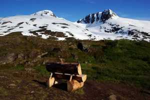
… where a place to sit was most appreciated. The final hike down the hill to the trailhead was no problem at all. And, I timed it well — I only had to wait at the tunnel for about five minutes before it opened to westbound traffic.
The Bottom Line
The hike to Portage Pass and Portage Lake is probably one of the most beautiful hikes in Alaska. It can be short — just an hour round-trip to the pass and back — or much longer — a few hours to hike all the way to the glacier and back. If you’re looking for a reason to travel through the tunnel to Whittier, this is it.
Drivelapse Video
Here’s a time-lapse look at the drive through the Anton Anderson Memorial Tunnel, then around Whittier:




No comments