It’s hard to imagine that this tranquil park used to be a popular resort. Back in the early 1900’s, visitors would arrive from Denver by train, and stay at the Crags Hotel, which was perched 800 feet above the canyon floor. The resort even had its own incline railway to take visitors in and out of the canyon. Nowadays, you can explore the ghosts of that bygone era, by hiking the Rattlesnake Gulch Trail.
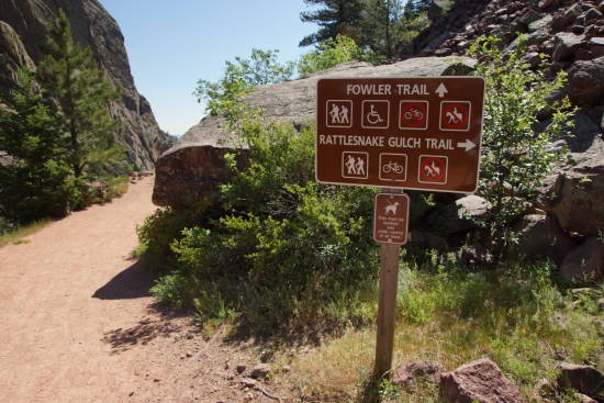
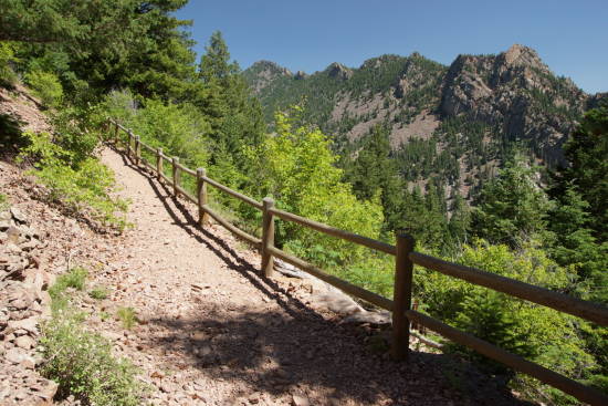
The trailhead is located just a short distance up the Fowler Trail. While the Fowler Trail is wide and smooth, Rattlesnake Gulch immediately reveals itself to be more challenging. It’s steeper in places, as well as rockier and narrower — but it’s still a fairly easy hike for most folks.
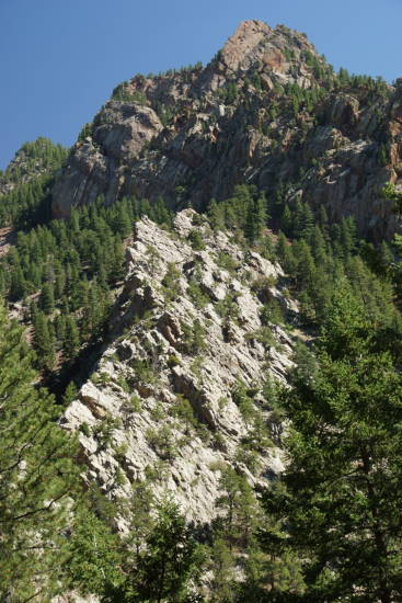
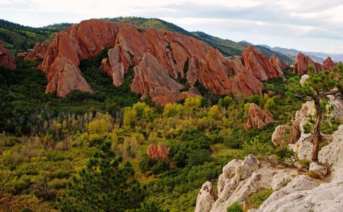
You’re only a short distance up the trail, when you come upon this view, looking to the south. The jagged white hill is Quartzite Ridge, and behind it is Shirt Tail Peak, elevation 7,240 feet.
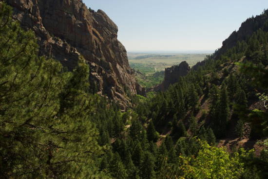
You’ll be in and out of the trees for a while, but at times, you’ll catch a nice view like this one, looking back towards the mouth of the canyon.
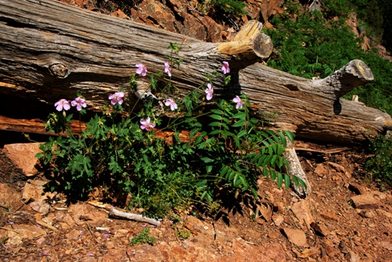
Chances are good that you’ll see plenty of wildflowers along the trail. I was there in mid-June, perhaps just a few weeks too early for the best display — but I wasn’t disappointed.
Keep climbing. You’ll have 1.4 miles in which to climb those 800 feet. Eventually you reach…
The Crags Hotel Ruins, along Rattlesnake Gulch Trail
It takes a little bit of imagination to picture a hotel here — but from 1908 to 1912, this area was the center of activity in the area. The hotel burned in 1912, and now that 100 years have passed, you have to look closely to figure out what was where.
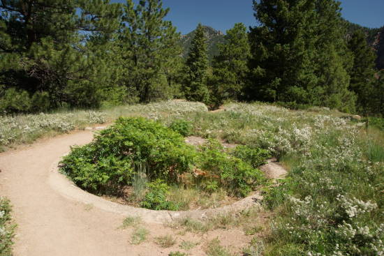
The old water fountain is still easy to spot. Its concrete basin is now a huge pot for plant life. The old buildings would have surrounded it on three sides.
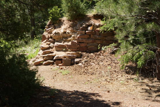
In a few places you’ll spot some old stone walls…
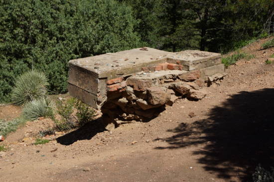
… and chunks of concrete and brick from the foundation.
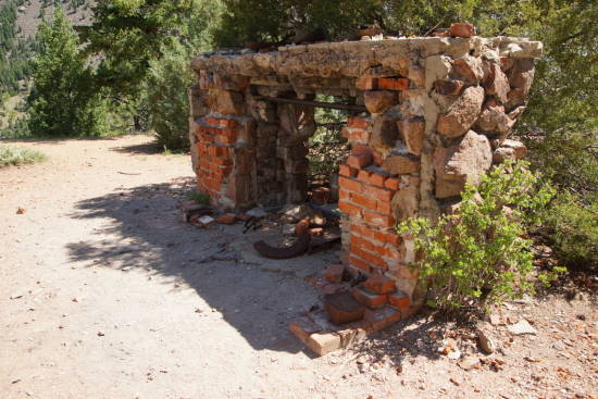
But the most interesting ruin is the old fireplace, which would have stood in the kitchen. Some old utensils and cookware still sits here, along with other scraps that visitors have found.

I also spotted some beautiful wildflowers growing here.
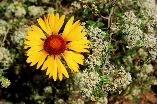
And it’s no surprise that all these flowers…
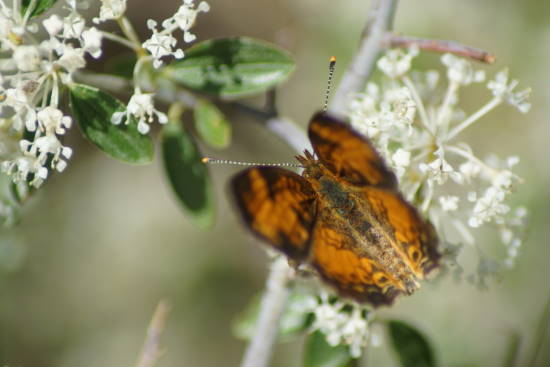
… attract butterflies.
From the site of the old Crags Hotel, you can either turn around and go back the way you came (making a 2.8 mile hike), or extend your hike by another 8/10 of a mile, by taking a loop trail that passes a nice viewpoint, and provides access to the railroad tracks. I took the loop in a counter-clockwise direction, which meant my next stop was…
Continental Divide Overlook
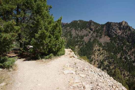
Don’t be confused, you’re nowhere near the Continental Divide when you’re in Eldorado Canyon State Park. But you can see it. Along the loop trail, you’ll find this spur route, which leads out to a cliff…
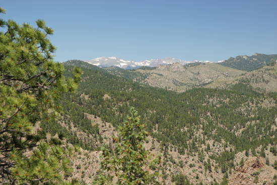
… giving you this view to the west. Those mountains, which still have patches of snow in June, are in the vicinity of the Continental Divide.
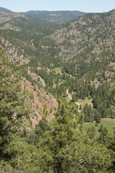
From this viewpoint, you can also look down into Eldorado Canyon. Beyond the visitor’s center, the road exits the park and connects to a handful of private homes.
Hike back to the loop trail, and keep plugging uphill. You have another 400 feet to gain from the hotel…
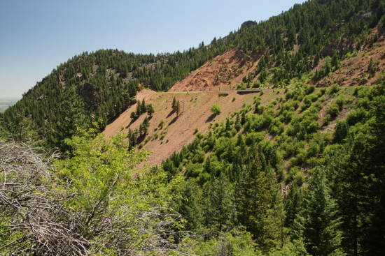
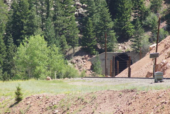
… to get to the railroad tracks. Yes, surprisingly, there’s a railroad up here, perched on the mountainside, high above the valley floor. I’d guess that you’re not supposed to hike all the way out to the rails…
… but it’s quite easy to get there. And as long as you’re paying attention for any train traffic, you’ll be safe.
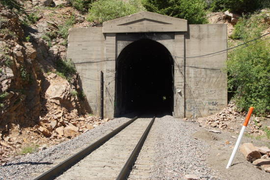
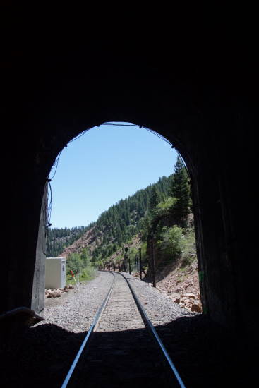
Just don’t find yourself deep in the tunnel when a train is coming.
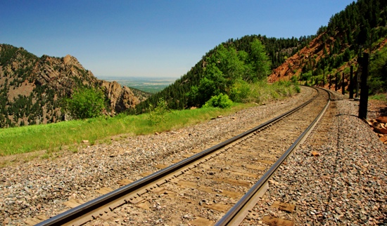
This stretch of track must have been where guests would get off the train, on their way to the Crags Hotel. A round-trip ticket from Denver in 1908 would have cost $1.
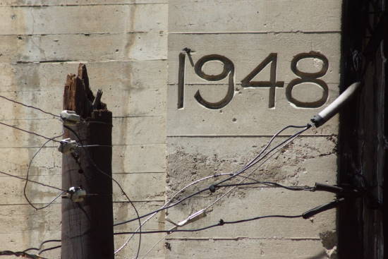
The tunnel at the end of Rattlesnake Gulch Trail is dated 1948, but this rail line has been around much longer. Construction began on it, back in 1902.
Trains that roll along this stretch of track aren’t out in the open for long. There’s another tunnel, probably less than 1/4 mile away — close enough that you could easily walk down there, if you wanted to.
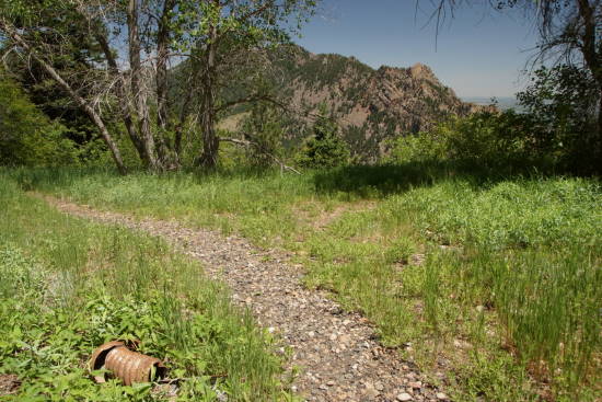
As you’re leaving the tracks, keep an eye out for all the junk that’s been left behind over the past 100 years or so. Remnants of railroad items, steel cable, and pipes litter the area.
From here, I hiked back down to the old hotel, then backtracked down the Rattlesnake Gulch Trail to the bottom of the canyon.



No comments