Almost exactly halfway through Shenandoah National Park, you arrive at Big Meadows. As the name suggests, there’s a wide-open meadow here. There’s also food, lodging, camping, and a ranger station.
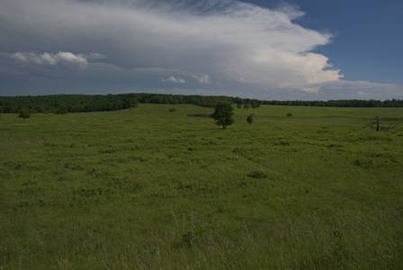
As you leave Big Meadows behind, the road drops down a hill, and there’s a parking area for the Dark Hollow Falls Trailhead. Reaching Dark Hollow Falls requires a less intense hike than South River Falls, and in my opinion, it leads to a much more beautiful waterfall.
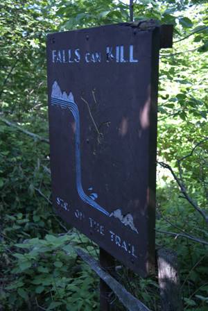
After about half a mile of hiking (all of it downhill — this trail drops about 440 vertical feet), you’ll see this sign. At this point, you’re near the brink of the falls. Keep hiking downhill, just a little farther.
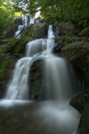
There are several great places to view this waterfall, which is a series of cascades. Most people stop at this first viewpoint.
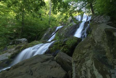
Pick your spot and stay a while. There are plenty of places to settle in, and stay out of everyone else’s way.
If you decide to hike further downhill…
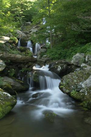
… you can find even more places to view the falls. At this spot, the tallest cascades are somewhat hidden by the trees (the previous viewpoint is located just behind those branches).
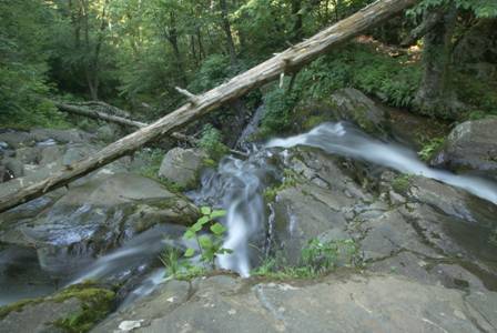
The water continues to fall…
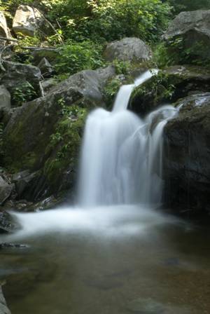
… so I went downhill just far enough to check out one more spot. Here, I found a tiny cascade, just a few feet tall. The rest of the waterfall is just above this spot, but you can’t see it very well. I stayed here for a few minutes, when I realized that almost every other hiker was stopping at the first or second viewpoint, but no one was coming down to my spot.
Note: This trip was first published in 2008.



No comments