Driving to Valdez? You’ll need to make a long journey on a remote highway, that crosses the snowiest place in Alaska. You’ll feel like you’re leaving the rest of the world behind, as you stare at mountain peaks on the horizon for miles and miles, then suddenly realize you haven’t seen another car — or another human — in quite some time. And once you’re on the other side, it may feel as if you’ve entered a lush tropical paradise (albeit a very chilly one).
Location
To reach Valdez by car, you’ll take the Richardson Highway (Alaska Route 4). It’s 117 miles from the junction with the Glenn Highway at Glennallen to the end of the road at Valdez. Thompson Pass is located about 30 miles east of Valdez.
You can also reach Valdez by ferry. Valdez is located on the Alaska Marine Highway System, which connects to several other ports.
My Visit
The first few miles after leaving Glennallen are the least impressive. The landscape is relatively flat as you head south — although there are some big mountains to the east.
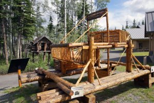
You might want to consider a side-trip out to Chitina and the Copper River. The Wrangell – St. Elias National Park visitor center is located along the Richardson Highway. Here, you’ll find a native-made example of a “fish wheel” — a contraption used to scoop up salmon on the Copper. Chitina is 33 miles to the southeast on the Edgerton Highway (which starts a few miles south of the visitor center). Allow at least a couple of hours for this detour, plus some extra time for watching all of the bald eagles that hang out along the river.
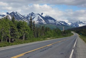
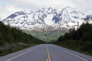
I drove out to Chitina, then returned to the Richardson Highway and continued to drive towards Valdez. It seemed like I had driven forever, when I finally decided to pull over and take a picture, just for the heck of it. The scenery was growing more beautiful with every mile, as the mountains surrounding Thompson Pass began to come into view.
And then, one after another…
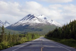
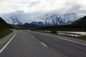
… huge mountains seemed to stand directly in front of me.
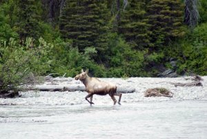
As you approach Thompson Pass, the road meets up with the Tsaina River for a few miles. I saw several other vehicles that had pulled off the road, and joined them…
… to discover this mother moose, patiently trying to convince her calves to cross the rushing river. She went back and forth across the neck-deep water, several times, but the kids weren’t having anything to do with this treacherous plan. I got back in the car and backtracked just a few hundred feet…
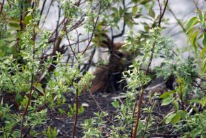
… and found one of the calves hiding in the brush, at the side of the river.
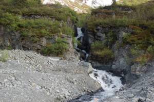
On the other side of the road, this waterfall tumbles down from the mountains.
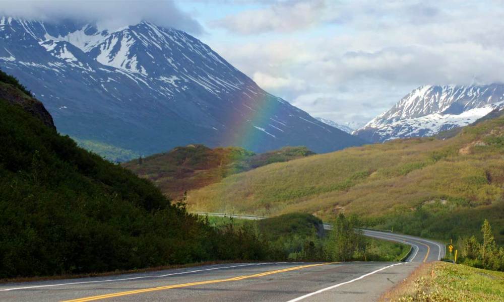
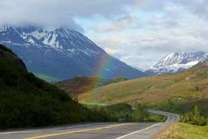
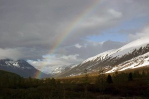
There is a benefit to dodging rain showers all day — you might get lucky enough to catch a rainbow at the right spot, and the right time. I found this rainbow just to the south of the Tsaina River, as the road begins its climb up towards Thompson Pass.
It lasted for quite a while, as I drove back and forth, looking for the best place to photograph it.
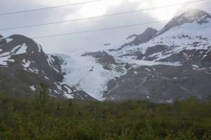
Something else worth photographing: Worthington Glacier pours down a valley on the west side of the road. There is a side-road that will take you closer to the glacier, and I probably should have driven out there to see it. But, I had spent a lot of time shooting the rainbow, so I continued over the pass.
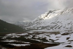
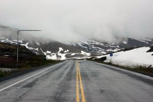
Thompson Pass is the snowiest place in Alaska, and even in the summer you’ll probably encounter some form of precipitation. On this day…
… and my return trip two days later, the actual pass was cloudy, drizzly, and cold.
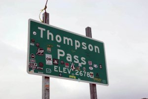
Don’t forget to bring a sticker to add to the sign!
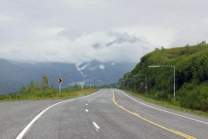
It didn’t take long to break free of the clouds on the trip downhill, headed towards Valdez. And that’s a good thing, because some of the best attractions on the Richardson Highway are up ahead.
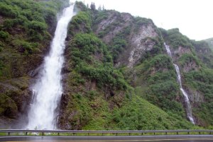
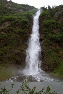
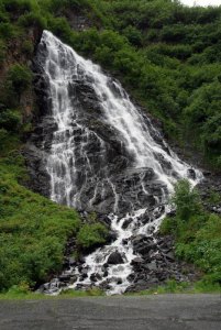
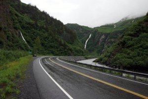
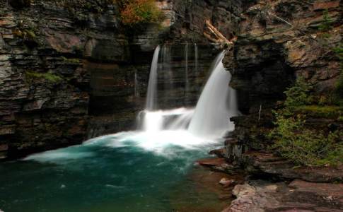
Just a few miles outside of Valdez, you’ll want to pull over and admire these waterfalls, that flow down the mountainside, right next to the highway.
The biggest one is Bridal Veil Falls…
… and another one, on the opposite side of the road, is known as Horse Tail Falls. They didn’t exactly come up with creative names.
In addition to the two named waterfalls, you can see at least one more, all from the same spot, as the road squeezes through Keystone Canyon. Just like Valdez, there’s a pretty good chance that this part of the road will be cloudy and rainy when you visit. But, it’s all that rain (and snow in the winter) that gives this area a lush, green look — almost like you’re in Hawaii, instead of Alaska. But then, you realize how cold it is, and you remember where you are.
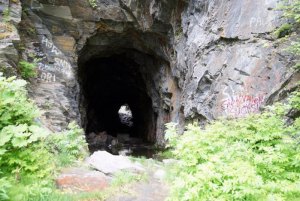
There’s one more interesting spot to look for, as you’re driving through Keystone Canyon. An unfinished railroad tunnel, dating back to 1906, remains as a reminder of the railroad race in the area, at the turn of the 20th century. Nine companies were trying to establish railroad routes that could move copper ore from Kennecott to a port. This tunnel was hand-dug, but then a feud and gun battle played out, and the project was never completed.
The Bottom Line
The drive to Valdez feels remote and lonely, but the scenery is beautiful. Expect rainy or snowy weather at Thompson Pass, and on to Valdez. Take time to look for wildlife, visit Worthington Glacier, and maybe even spot a rainbow.
Drivelapse Video
Here’s a time-lapse look at the drive from the junction with Edgerton Highway, south over Thompson Pass, to Valdez…
… and the reverse-cam shot, that shows rainbows over Thompson Pass!



No comments