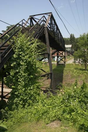
Most of Tunnelton lies on the opposite side of the railroad tracks, from WV Route 26. To connect the two parts of town, there’s an ancient-looking footbridge, with a long steel staircase on either side. It seemed wrong to just drive by, without climbing to the top of it.
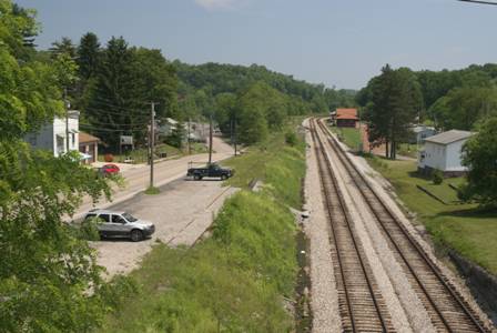
From the top, you can see it all! The railroad tracks, the dozen or so buildings, and… well, that’s about it.
If you look the other direction, the tracks disappear around a curve. The Kingwood Tunnel is just beyond that curve. In fact, you drive over it just before arriving in town on Route 26.
You can also drive into town, but you’ll notice, there’s no overpass for cars. Instead, Route 26 dips down, and a narrow tunnel slips underneath the tracks (you can almost see where, in the picture above).
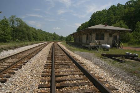
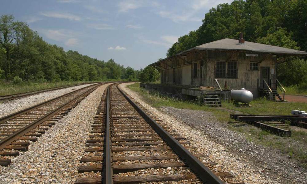
There isn’t much of interest in Tunnelton, besides this old building. I thought it was an old train station, but Joe Riggins of Sarasota, Florida wrote to correct me. He says the train station is a different building, in good condition — but he didn’t identify this older structure.
For about 10 minutes as I explored Tunnelton, some sort of air-raid siren was blaring. No one else seemed to be panicking, so I ignored it, and eventually it stopped. Hopefully it was just a test.
After leaving Tunnelton, I followed Route 26 to Kingwood, then WV Route 7 east to Terra Alta.
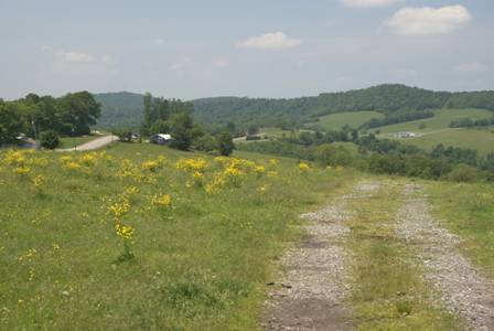
This is a typical scene on the road to Terra Alta. It’s a nice drive.
Terra Alta, West Virginia
Just before crossing over into Maryland from West Virginia, the final town on Route 7 worth exploring is Terra Alta.
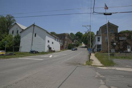
Downtown Terra Alta is roughly 7 blocks long, and only two blocks wide. The town is built on a hill, so the main street (Route 7) is uphill from the low road.
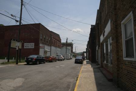
The old buildings on Washington Avenue (a block below State Avenue, a.k.a Route 7) have truly become lost in time. There are a few businesses here…
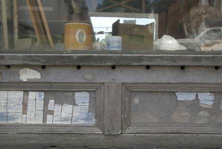
… but most have windows that look like this…
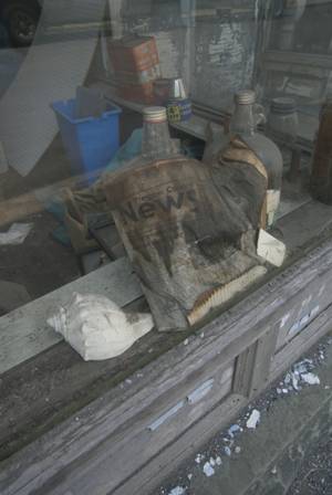
… or this.
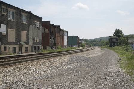
The old B&O railroad tracks run behind the old buildings on the lower end of town.
After Terra Alta, my next stop was Swallow Falls State Park, just across the state line. There’s no road that goes directly there, but you can make a loop up and around, by taking Cranesville Road.
On my way up and over Cranesville Road, I followed a sign for a wildlife viewing area.
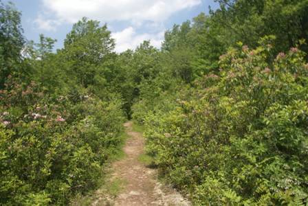
It was a long detour, and I’m not completely sure exactly where I ended up. All I do know is, the picture above shows all I saw.
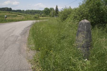
Your crossing between states will be with little fanfare. This stone marker provided the only clue that I was entering Maryland (on Lake Ford Road, just off Cranesville Road).
Note: This trip was first published in 2008.



No comments