The West Elk Loop Scenic Byway covers a wide variety of scenery in western Colorado — mountains, aspen groves, ranchland, and desert. This part of the drive takes you from Crested Butte, through Gunnison, and then westward.
Location
The West Elk Loop includes Colorado Highways 133, 135, and 92, Gunnison County 12, and US Highway 50. On this page, we’ll discuss the southern and eastern part of the loop, starting in Crested Butte, then traveling south on Highway 135 to Gunnison, followed by US 50 westbound past the Blue Mesa Reservoir.
My Visit
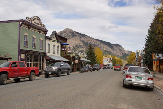
You really can’t go wrong with a stop in Crested Butte or Gunnison. Both towns offer everything you need, as well as a great variety of recreation opportunities nearby. Crested Butte has the feel of a ski-resort town, mixed with a traditional Colorado mountain town.
I arrived in Crested Butte via Gunnison County Route 12. It’s a beautiful drive through an immense aspen grove — argued to be one of the largest single organisms on earth. As you’d expect, it’s especially beautiful in autumn, during the fall colors. You can read about that part of the trip here.
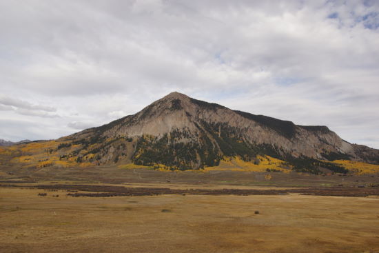
As you head south on Colorado 135, you’ll have an excellent view of Crested Butte — the mountain that shares its name with the town. This mountain measures 12,168 feet (3,709 meters). The town’s ski resort is located on its northern slopes.
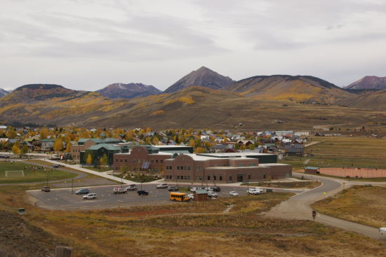
From the highway, you’ll have a nice view of Crested Butte as you leave town. Crested Butte Community School is located at the southern end of town.
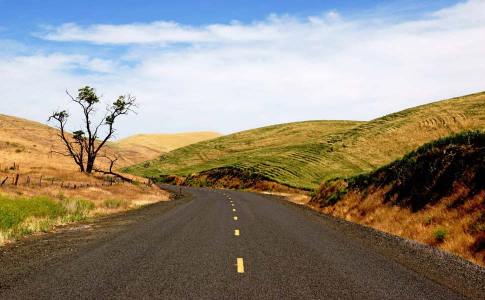
For much of the way to Gunnison, Highway 135 passes through a wide-open valley, with hills in the distance on either side.
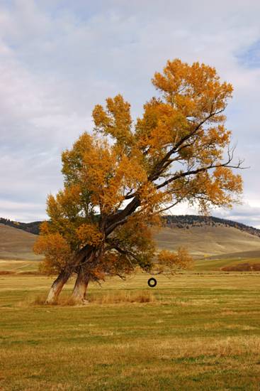
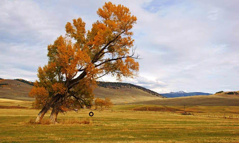
You may notice big, slanted tree at the side of the road, complete with a tire swing. I think I’ve stopped here and taken this same picture, at least twice.
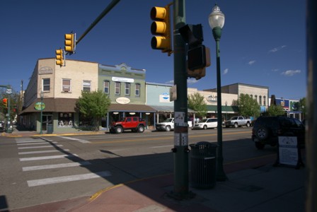
Gunnison feels less like a tourist town, and more like a working town. On this visit in 2014, I drove through quickly (having spent more time than I should in places like Marble and Kebler Pass). You can read about my 2010 visit here.
At Gunnison, turn west on US 50. The landscape changes abruptly…
… and suddenly you’re in a desert, surrounded by sagebrush.
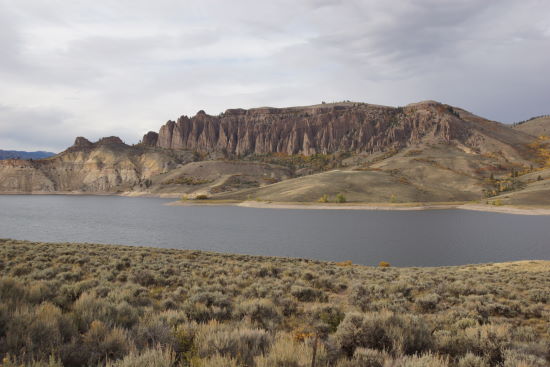
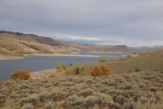
In this area, the Gunnison River is dammed, forming the Blue Mesa Reservoir, which is surrounded by the Curecanti National Recreation Area. Across the lake, you can see the Dillion Pinnacles, which you can access via a 4-mile hike.
You’ll see the Dillon Pinnacles, shortly after US 50 crosses the reservoir on a long bridge. Further west, the West Elk Loop crosses the river again, atop the Blue Mesa Dam.
West of the dam, the Black Canyon of the Gunnison begins. You can visit this national park via side-roads off of Route 92 or US 50.
The Bottom Line
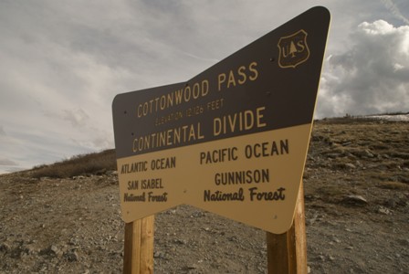
You could easily spend a day or two in Crested Butte, and another day exploring the Cottonwood Pass area off of Route 135. Gunnison provides good motel rooms at a much cheaper rate than in Crested Butte, so you may want to make it your base of operations.
Drivelapse Video
Check out this time-lapse, dash-cam video of the drive from Crested Butte to Gunnison…
… and Gunnison to Montrose:


No comments