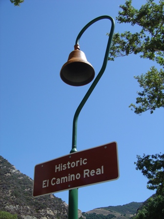
You’ll see signs marking the Historic El Camino Real route as you travel up the California coast. Most are hard to reach at the edge of the road, so if you want a picture, stop at the small (and often crowded) rest area just north of Gaviota.
At Gaviota, US 101 and Hwy. 1 part ways, and while the Pacific Coast Highway does stay closer to the coast, you won’t see the Pacific again for miles. But don’t think the absence of coastline means a lack of scenery.
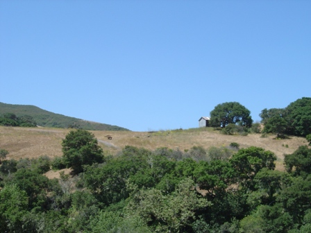
The PCH travels across rolling farm land for the next hour or so, until you approach Pismo Beach. So enjoy the countryside.

Click the panorama to view full
No sign of the Pacific along this stretch of the Pacific Coast Highway. Instead, farmland stretches out for miles. Unfortunately, my effort to stitch together a panoramic scene didn’t work too well, thanks to those darned power lines. But at least you can get some idea of what awaits you here.
Pismo Beach
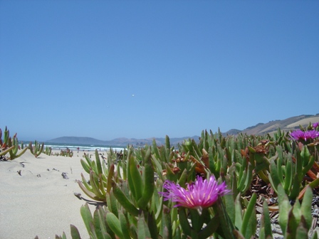
The ocean is a welcome sight after spending an hour or so away from the coast. The PCH passes through the town of Pismo Beach, with plenty of small shops and a nice, wide stretch of sand.
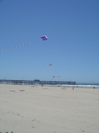
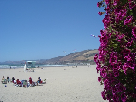
After you’ve had your fill of sand and surf, walk up into the downtown area (at the end of the pier, directly above this flower-covered wall), and you’ll find souvenir shops and plenty of good restaurant choices.
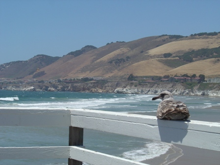
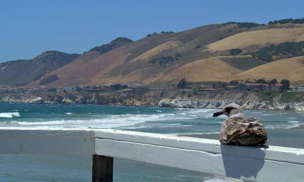
A common scene on the pier at Pismo Beach.

Walk out to the end of the pier at Pismo Beach, and you’re rewarded with a great panorama of the ocean, the mountains, and the beach… while below you, surfers battle against the waves.
At Pismo Beach, US 101 and Hwy. 1 once again join together for the trip inland, to San Luis Obispo.
Note: This trip was first published in 2004.




No comments