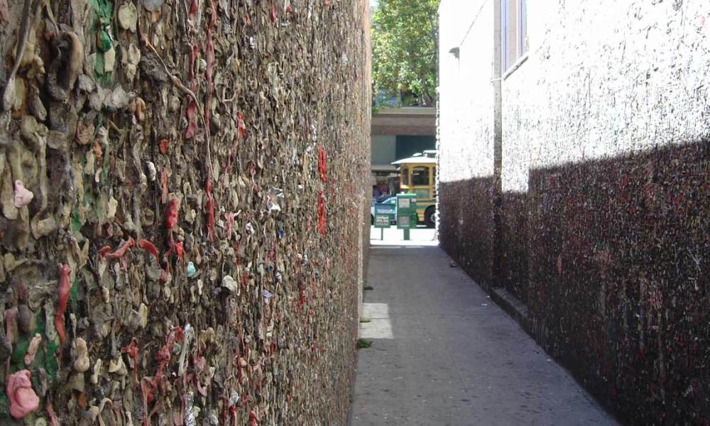
San Luis Obispo provides a great opportunity to get out of the car, and stretch your legs for a bit. One place to seek out: Bubblegum Alley. For decades, people have been sticking their used gum to the walls of this narrow passage. Some of the more creative visitors leave their name on the wall, forming letters by stretching and sticking multiple gumballs.
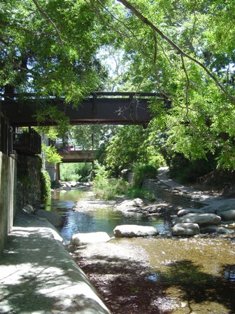
San Luis Obispo (also known as San Luis, or an even shorter version, SLO) offers another attraction: a river walk that cuts through the pedestrian-friendly downtown. You can walk along the banks of the river, or skip across it on strategically located rocks. Since the creek is below street level, many restaurants have patios overlooking the water.
From San Luis, Highway 1 once again splits off from US 101, heading back towards the Pacific.
Morro Bay
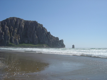
After you leave SLO, Highway 1 returns to the ocean at Morro Bay. You’ll know you’re getting close to the water when you spot two things: the smokestacks of a large power plant, and the impossible to miss Morro Rock. The Gibraltar-like stone provides a dramatic break in the fairly-flat coastline (fairly flat at least, so far!)
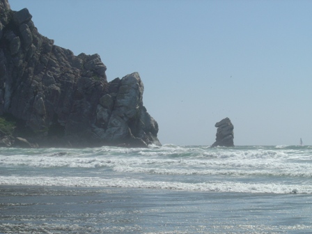
To my eyes, Morro Rock played a bit of an optical trick. The water appeared close to the road, but in reality, it was quite a walk. Making the experience even less pleasant, when I was there (in late May) it was windy and cold.
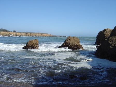
North of Morro Bay, you’ll find several state parks and beaches, which give you direct access to the rocky shore.
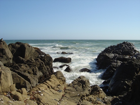
This park provides steps from the parking area, which allow you to walk right down onto the rocks, and if you venture close enough, shower in the ocean spray.
Do you know where I was when I took this? I believe it was either San Simeon State Park or Cayucos State Beach. If you can tell me, use the comment form below.
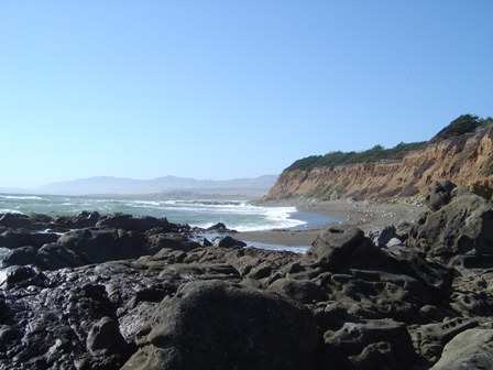
Another view of the Pacific Coast along the side of the Pacific Coast Highway.
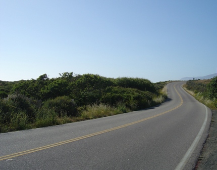
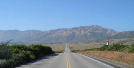
Even when you can’t see the ocean, there’s plenty to see. Here are a couple of classic road photos, taken just before the Pacific Coast Highway climbs into the Big Sur mountains.
Note: This trip was first published in 2004.



No comments