Imnaha, Oregon, is quite literally the place where the pavement ends. There is only one paved road leading into Imnaha, and just past the town’s one big intersection, the pavement promptly ends.
Now for a tour around town. Here’s the whole thing:
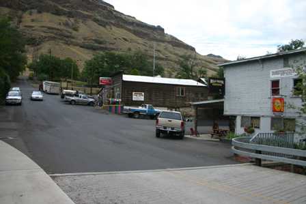
This is the intersection of Upper Imnaha Road and Imnaha Highway. There are a couple of businesses here…
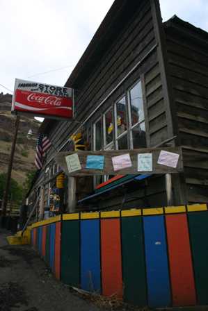
…including the Imnaha Store and Tavern. I poked my head inside for a look around, and let me tell you, this is one unique place. It’s part restaurant, part bar, and part general store. There are tables and booths down the middle, an old-fashioned bar on the left, and shelves lined with food and supplies along the right wall. Since I arrived at dinner time, the place was full, and while I’m sure the locals are friendly, I felt completely out of place. When traveling alone, eating at a restaurant is often the most uncomfortable thing you can do, and here, I perceived myself as being incredibly conspicuous. So, even though I was hungry, I chose not to take a seat and look at a menu.
I also had the feeling that they didn’t take credit cards here, and earlier in the day, I had used up the last of my cash. So, I rooted around in my pocket for some change, bought a can of soda, and moved on.
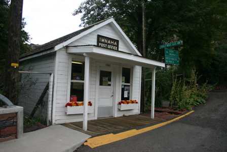
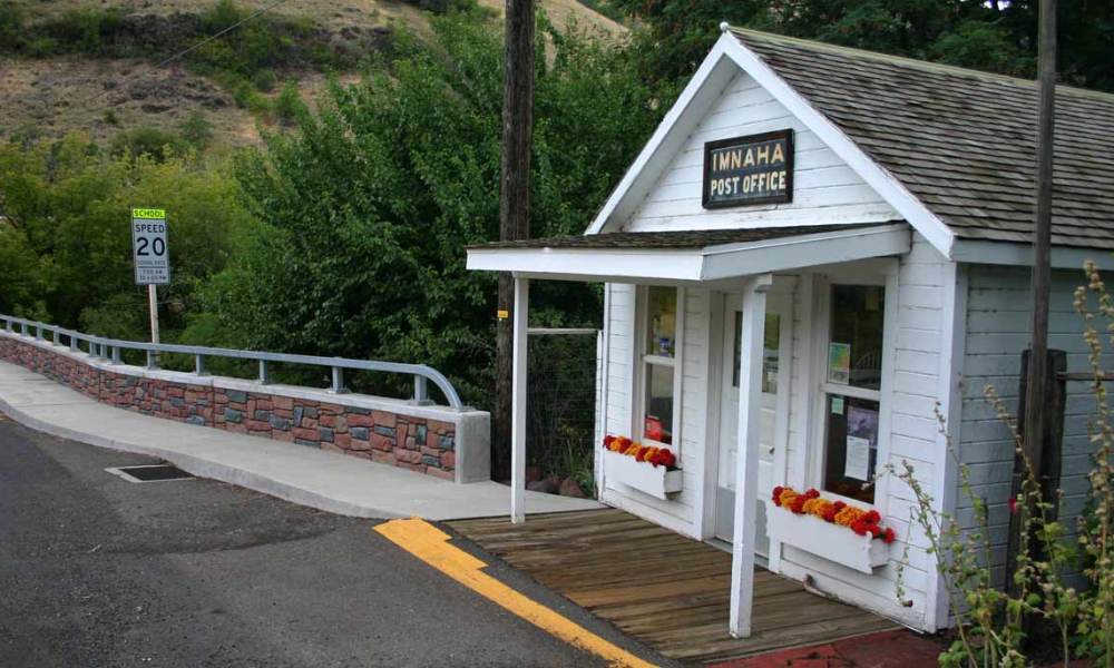
Imnaha also has a tiny post office. If you head uphill, you’re on your way to Hat Point. Downhill, you’re headed out of town.
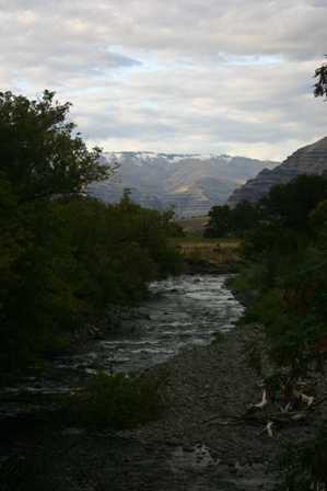
As you leave Imnaha, take one last look at the Imnaha River and the valley through which you just drove.
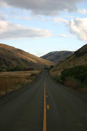
Imnaha Highway is a great road. It really is. The pavement winds in between rounded, brown hills, and past a few small farming areas. It should be a great highway, the kind that real road-trippers just love to drive. And I probably would have found it to be spectacular, if the previous route, Upper Imnaha Road, hadn’t been so great. Now, this great road seemed a bit ho-hum.
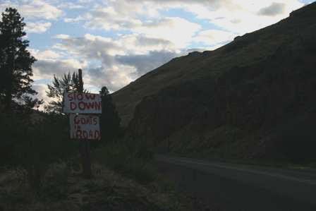
Apparently it was easier to put up a sign that said “Goats In Road” than to put up a fence to keep the goats out of the road. The sign didn’t lie. There were goats everywhere.
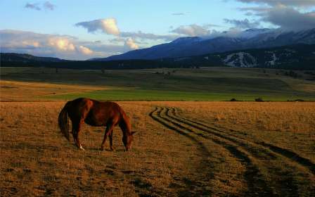
After Imnaha Highway rejoins the Hells Canyon Scenic Byway, the landscape flattens out a bit. You’re suddenly looking at mountains in the distance, instead of driving up, over, and around them. You’ll also pass through some beautiful farming areas. As I crested one hill, I found a couple of horses and a few mules hanging out at the side of the road.
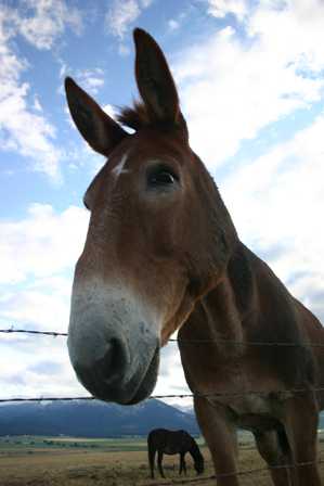
These creatures were friendly, and didn’t object to me using the last bit of battery power in my camera.
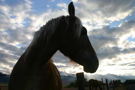
Some of these pictures didn’t turn out quite as well as I would have liked. The sun was too low and too bright, and was bursting through the clouds with that “return of Jesus” look. So, you’ll just have to take my word for it. This is an incredibly beautiful and peaceful place.
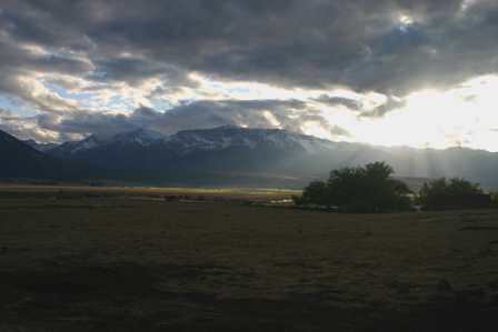
In the distance is Chief Joseph Mountain, and several other peaks. Directly below them is the town of Joseph, and Wallowa Lake. That’s our next stop.
Note: This trip was first published in 2006. Much of the same area was covered in the Big Sky trip in 2014.



No comments