After climbing out of Hells Canyon, and visiting the Hells Canyon Overlook, my next goal was to drive out to Hat Point, a notoriously beautiful viewpoint, that’s 24 miles from the tiny town of Imnaha. That’s 24 rough, slow miles along a road that’s officially rated “4×4 Only”, but is generally passable by lesser vehicles.
As the Hells Canyon Scenic Byway heads north, it takes a western swing towards the town of Joseph. Then, another paved road heads east to Imnaha. While the paved route would have been smoother, I knew it would take too much time to travel the long way to Imnaha, then drive the 48 miles (out and back) to Hat Point. So, I decided, my only choice was to turn onto Upper Imnaha Road, a 31 mile dirt road that heads directly north to Imnaha.
Truth be told, I didn’t know if I was going to take a chance on an unknown dirt road, until I reached the intersection. In an adventurous “what the hell” moment, I decided to give it a try. It was the best decision I made on this trip, because I was about to see some of the most beautiful countryside that eastern Oregon has to offer.
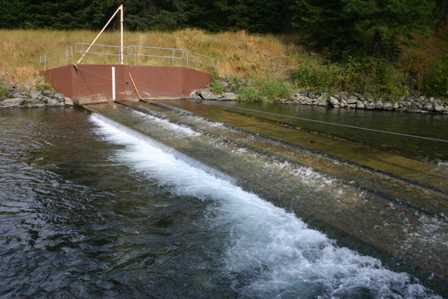
The first thing you encounter as you drive up Imnaha Road is a place called Gumboot Weir. A weir, I learned, is a fence-like structure placed across a creek, that stops salmon from swimming upstream, and instead, herds them into a side channel…
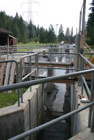
… which leads to a collection pond. Some of the fish captured here at Gumboot Weir are then put back in the river and allowed to swim and spawn naturally, while the rest are taken to the Lookingglass Fish Hatchery, where thousands of new little salmon are brought into the world and raised. Then, in the spring, they’re brought back here and released.
From mid-June to mid-September, this place is hopping, as adults are captured and transported. By the time I happened by on September 19th, it was all over for the year. One solitary employee, who was shoveling the muck out of collection pond, told me I was about a week late. Oh well.
After walking around the grounds, and having that employee wonder why the heck I was even there, I started driving again. About 30 miles of dirt stretched out ahead of me. Nothing is more discomforting, perhaps, than an unfamiliar dirt road. Add to that, it had been raining (and snowing just a few hundred feet above me), so the dirt was officially mud. Fortunately, I discovered that this was about as good a dirt road as you’ll ever find–just a few bumps, but mostly smooth and well-maintained. I could have made it to Imnaha in less than 45 minutes, if not for all the scenic stops I made.
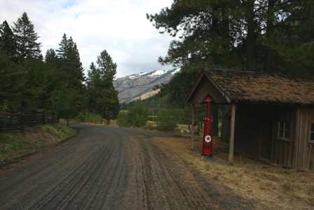
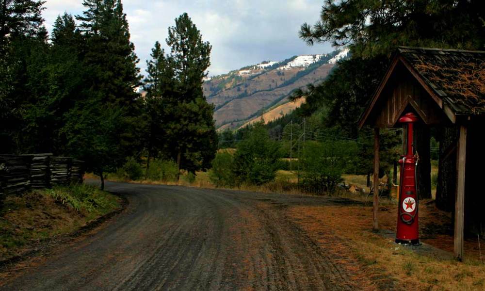
This was the first one: an old gas station, complete with one of those gas pumps that were quite literally “pumps”. The shiny, red restored fixture was the kind that required you to hand-pump fuel into a glass measuring container at the top, then drain the petrol into your tank. You just don’t see these anymore, except for here, in a corner of the country where things haven’t changed quickly. Of course, the old filling station was no longer in business, which is a shame. I’d have loved to fill up my car the old fashioned way.
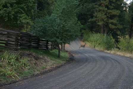
Aside from stopping for pictures, you’ll also need to brake for wildlife. In at least three different places, deer bounded out in front of my car.
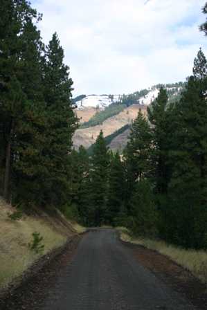
OK, is this a great road or what?
For the next 20 miles or so, those mountains run alongside the road. And wasn’t it great that the first snow of the season had arrived, just the night before?
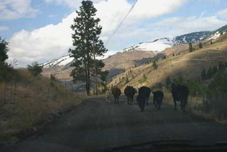
It’s not just deer that cause a wildlife problem. This area is free-range, so don’t be surprised if you end up in a cattle traffic jam. I quickly discovered that cows don’t grasp the concept of being passed. When I sped up, they sped up. The poor things were terrified, but they wouldn’t let me just roll by, and if I slowed down, they slowed down and stopped in front of me. Eventually, I overtook them, and their panic immediately ceased.
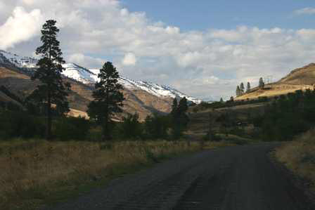
Eventually, I decided that I couldn’t stop at every scenic curve on Upper Imnaha Road, but I wanted to. Each time you round a curve…
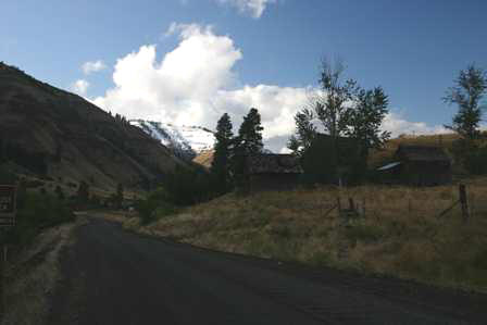
… the mountains look different, there are old buildings…
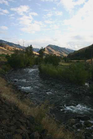
… or a creek…
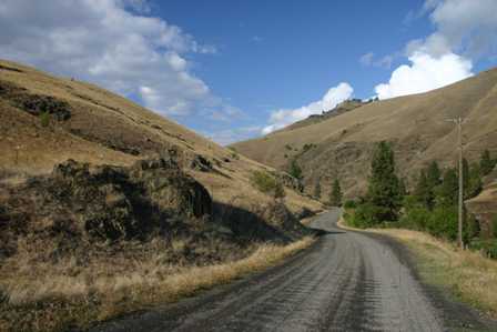
… or an incredible twist in the road…
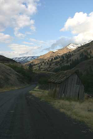
… or yet another old building…
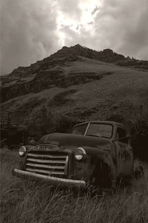
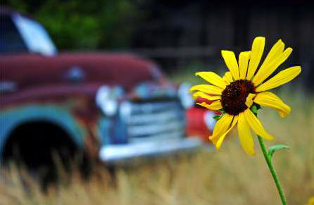
… or some old, junked cars, permanently parked in the tall grass, silently watching time go by.
Imnaha Road is easy to travel, because it serves as a connecting road for dozens of farms and remote homesteads. You will probably see a few people, and pass a few cars, but not many of either.
A few miles before you reach Imnaha, you emerge from the long valley, and the surrounding mountains become a little less dramatic.
In my case, Upper Imnaha Road had taken so much time, that I decided it would be impossible to drive out to Hat Point and back before sunset. I had to forego what I expected would be the highlight of my day. But it didn’t matter. I was so pleased with the journey up Imnaha Road, that my day (and even my entire trip) began to feel complete.
Note: This trip was first published in 2006. Much of the same area was covered in the Big Sky trip in 2014.



No comments