After you’ve explored Hells Canyon from the bottom, it’s time to see it from the top. From Oxbow (at the bottom of Hells Canyon, on the ID/OR state line), take Oregon Rte. 86 west. After you climb out of the canyon, watch for Wallowa Mountain Loop Road (Forest Road 39). If you don’t want to explore the canyon overlooks or the National Forest roads in this area, you could take Rte. 86 to Interstate 84, which is about 70 miles away.
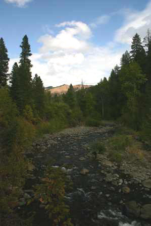
After you turn onto Wallowa Mountain Road, you’ll be driving through the Wallowa-Whitman National Forest. That means, you guessed it, lots and lots of trees. Take a minute to stop at the small rest area, just a few miles north of the Wallowa Mountain Road turnoff. If you hike for a very short distance through the fragrant pine trees, you’ll find this view of North Pine Creek.
Hells Canyon Overlook
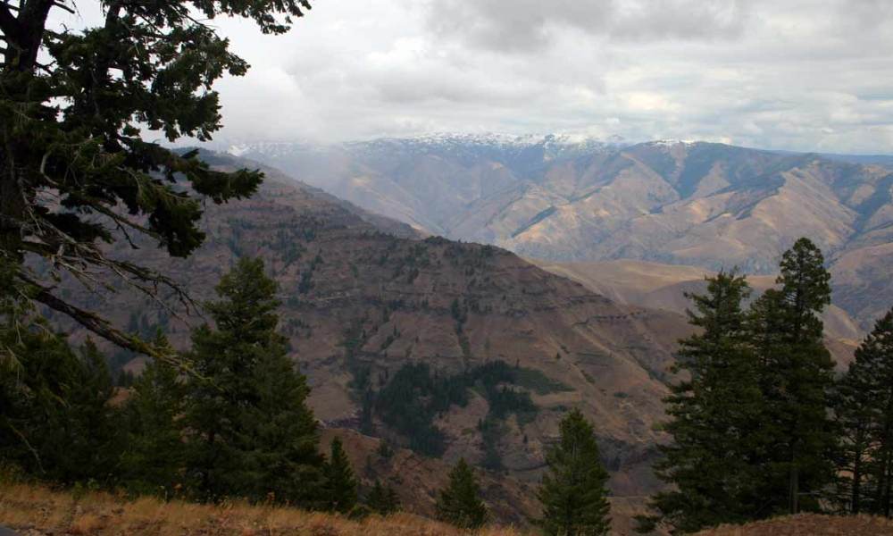
You need to see Hells Canyon from above and below, to truly appreciate its enormous size and depth. The “below” was the easy part, but the “above” takes a little more effort. Some of the overlooks require miles of driving on rough dirt roads, just to reach a spectacular viewpoint. But there is one overlook with paved access, that’s not far from the main road: the generically named “Hells Canyon Overlook”.
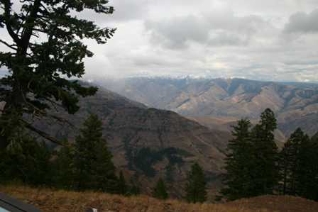
No single picture taken here can do justice to this scenery. The deep canyon opens up at your feet, stretching from one corner of your eye to the other.
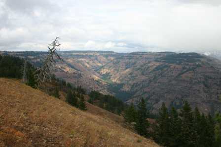
You can’t not compare this view to the Grand Canyon. The two are very different, but similarly breathtaking.
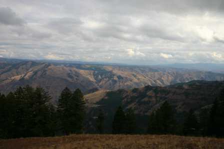
Standing at this point, you’re directly above where you were a couple of hours ago. The canyon below is south of the Hells Canyon Dam, and north of the Oxbow Dam.
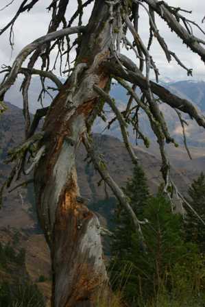
There are only a few trees growing from the steep canyon walls. As you can see, this one has struggled quite a bit during its life.
Note: This trip was first published in 2006. Much of the same area was covered in the Big Sky trip in 2014.



No comments